Sept. 12th

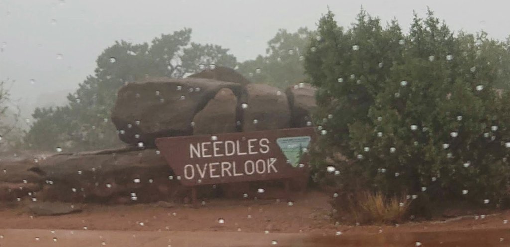
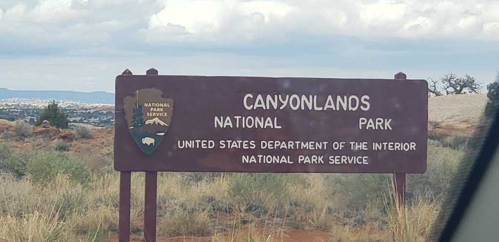
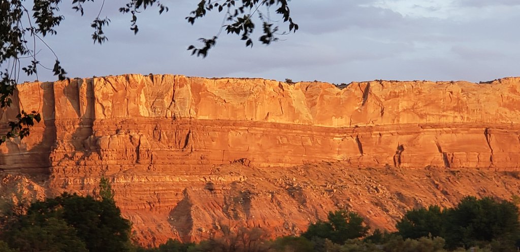
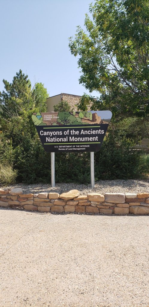
Hi everyone!!  Back to the Canyonlands for our last day. 

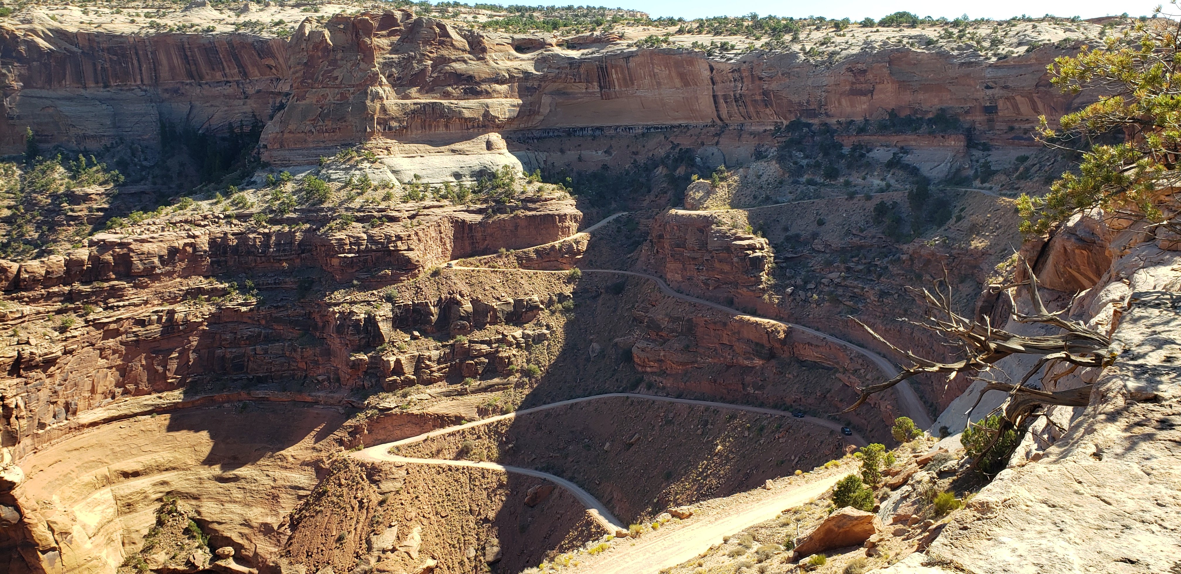
We are going to see the Island in the Sky, Mesa Arch, the Grand View Point Overlook and the Green River Overlook.

Grand View Point Overlook, Barry is pointing the way!!

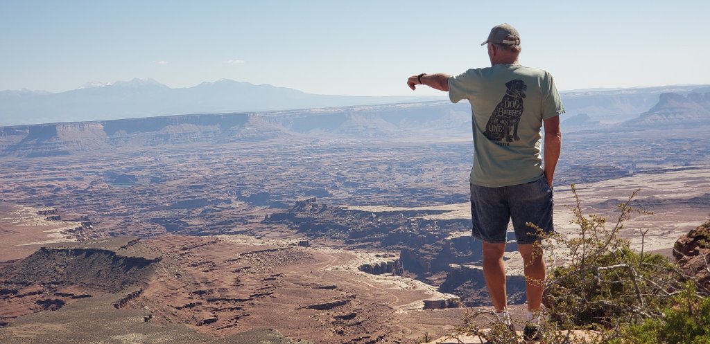
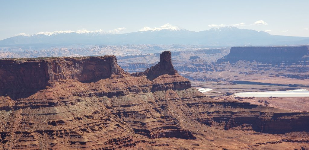
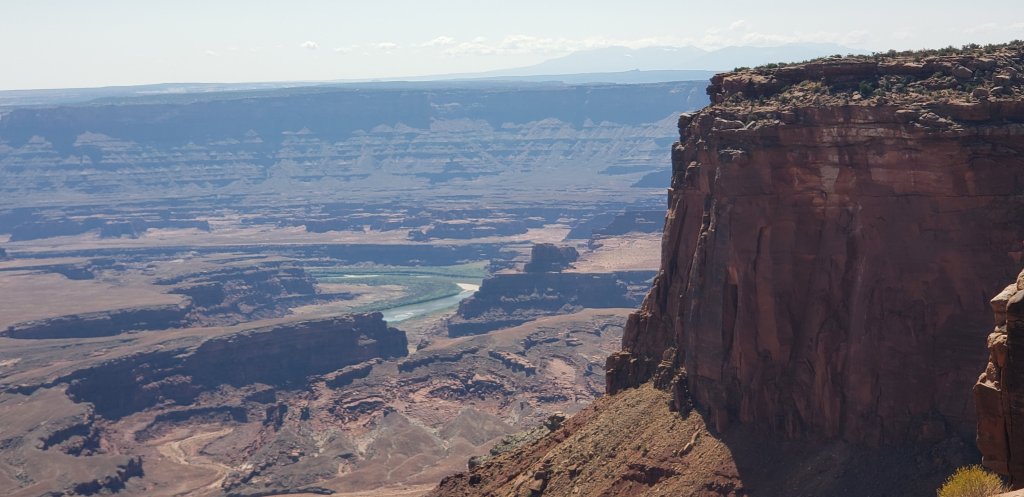
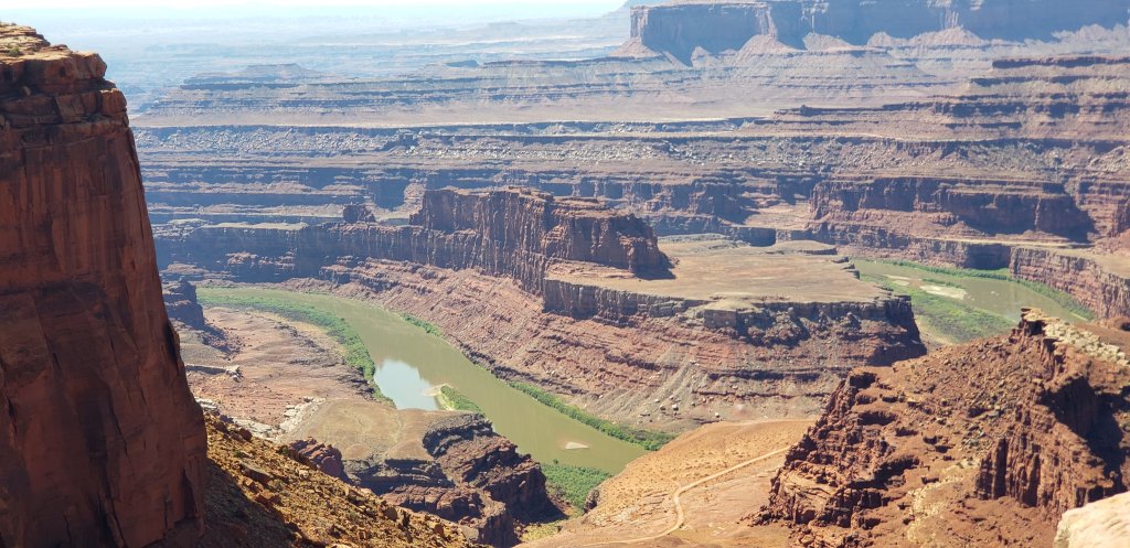
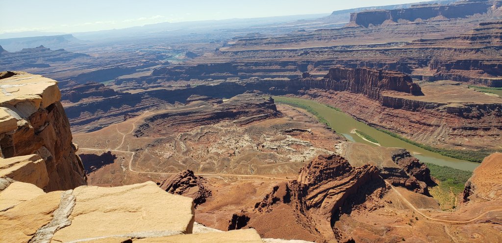
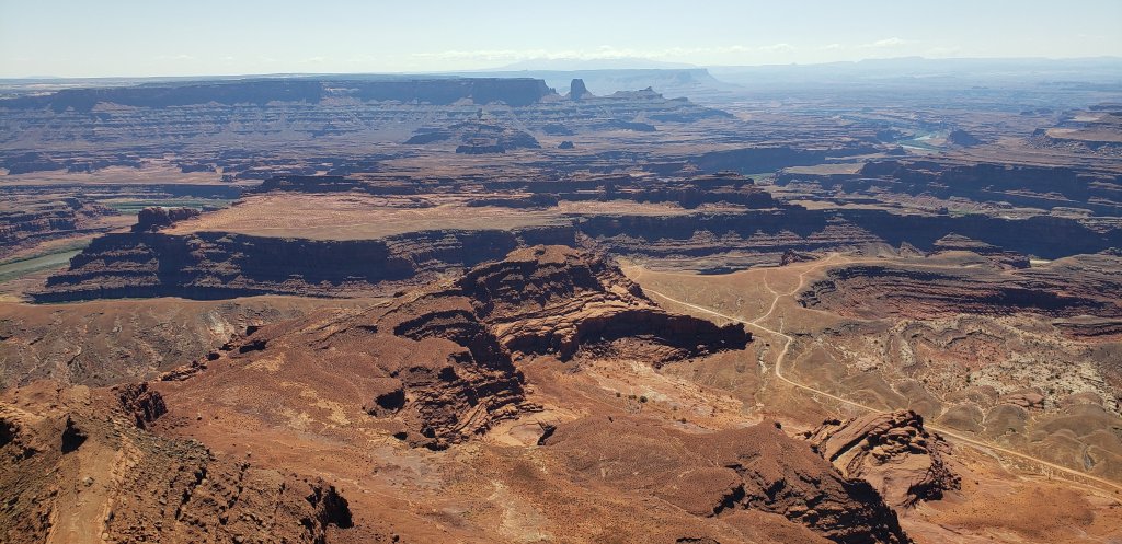
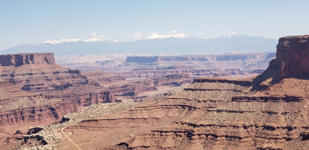
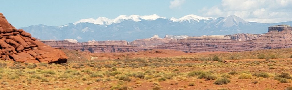
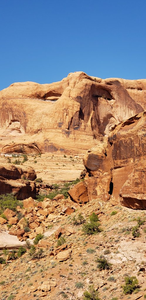
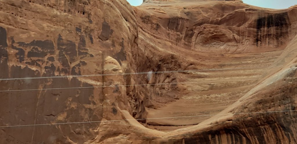
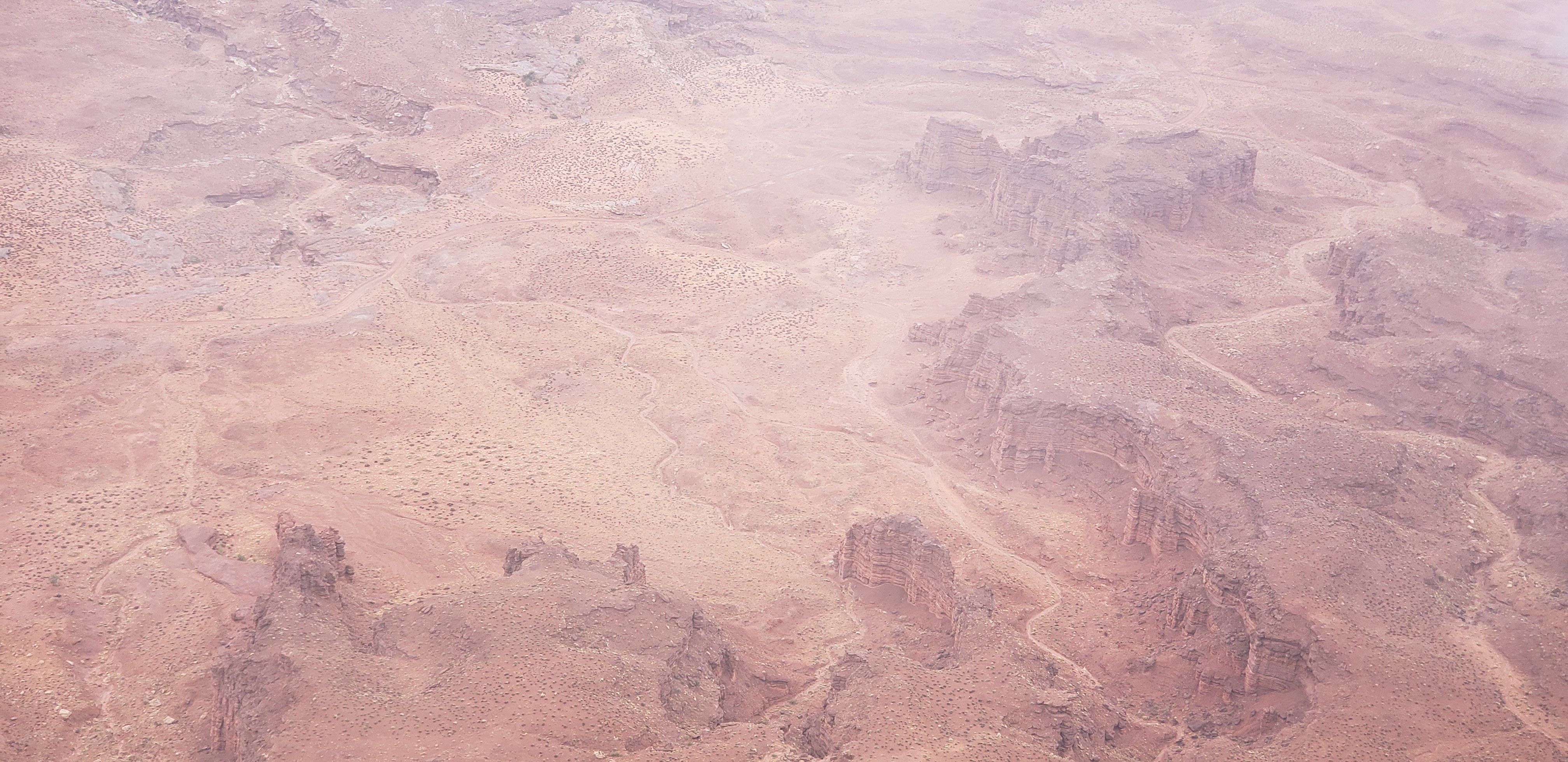
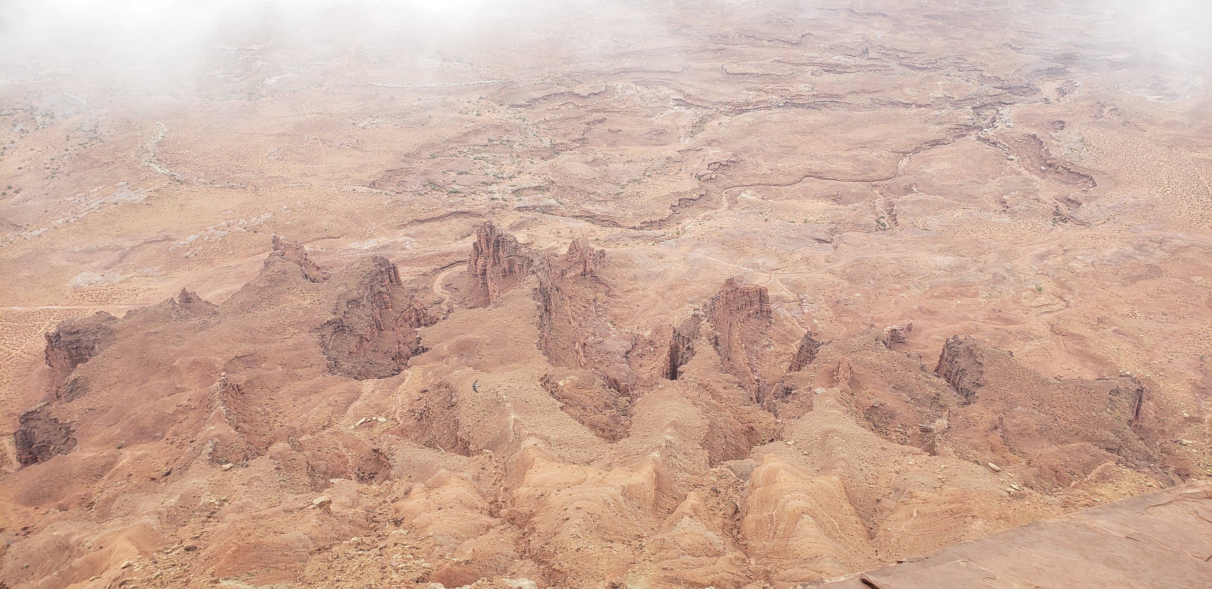
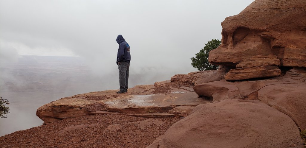
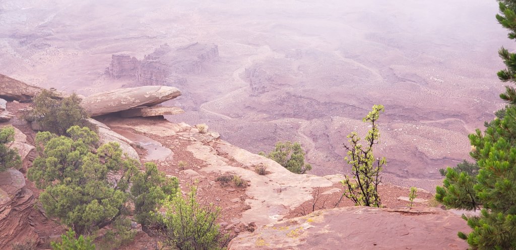
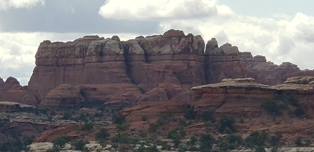
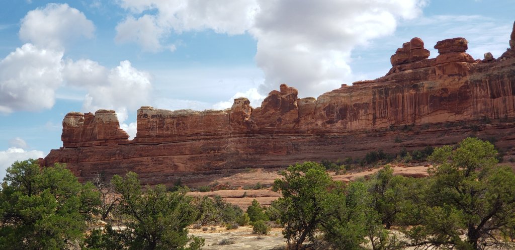
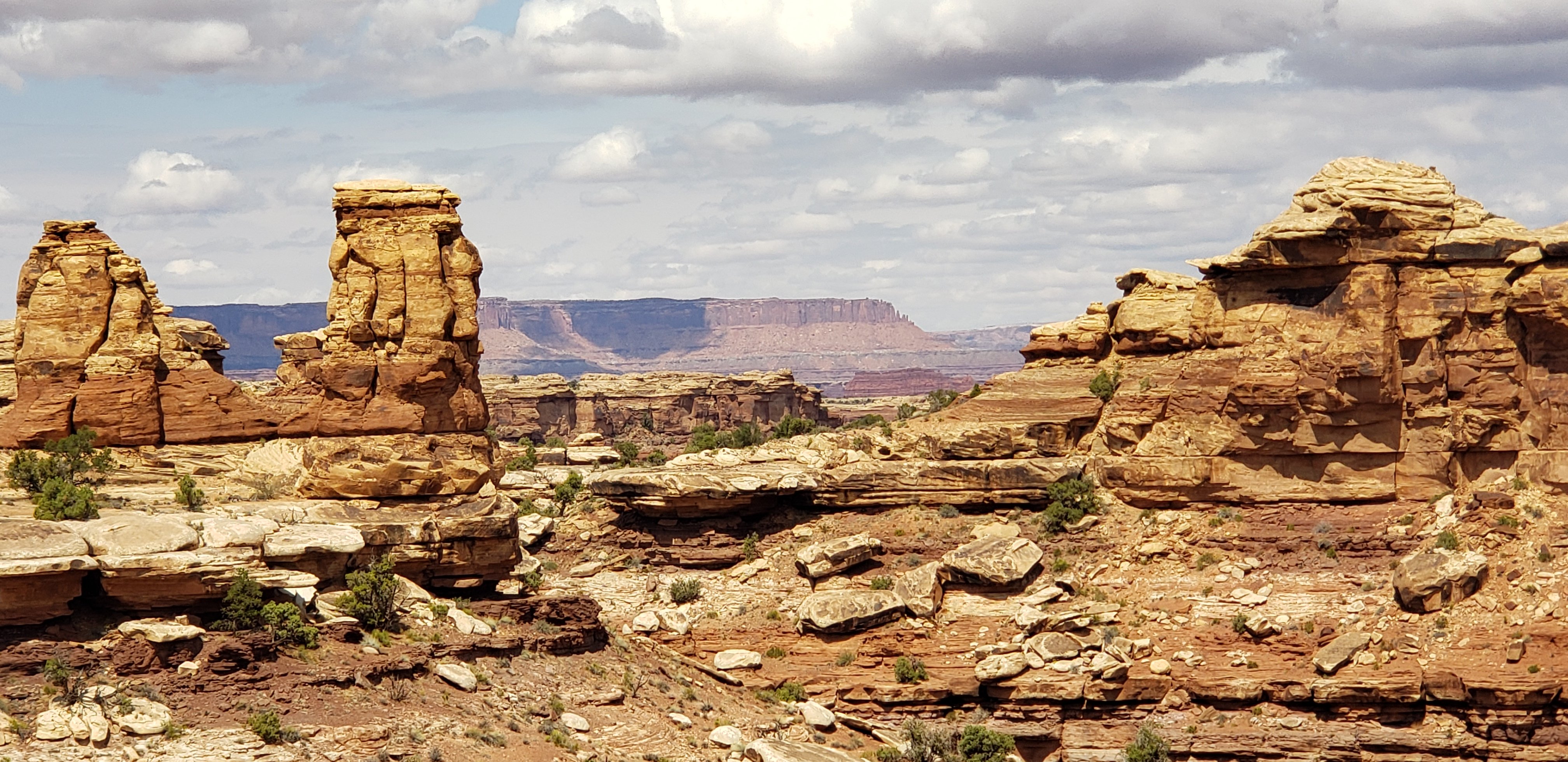
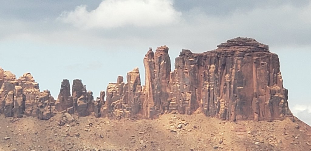
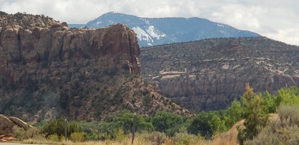
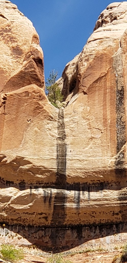
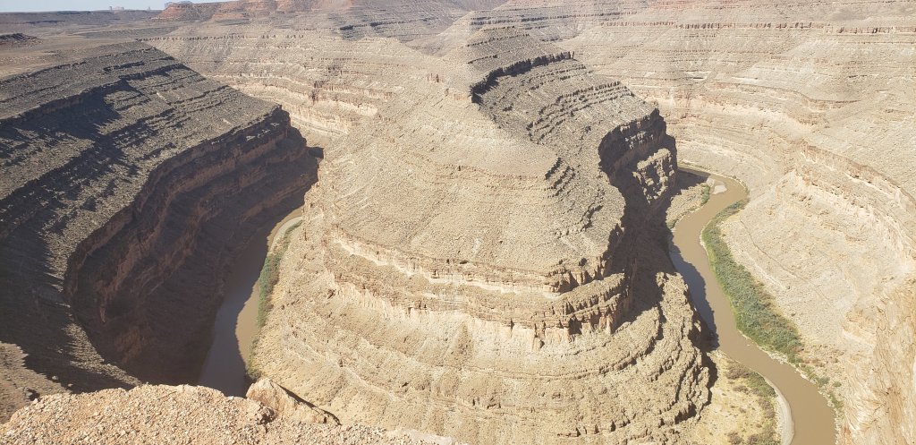
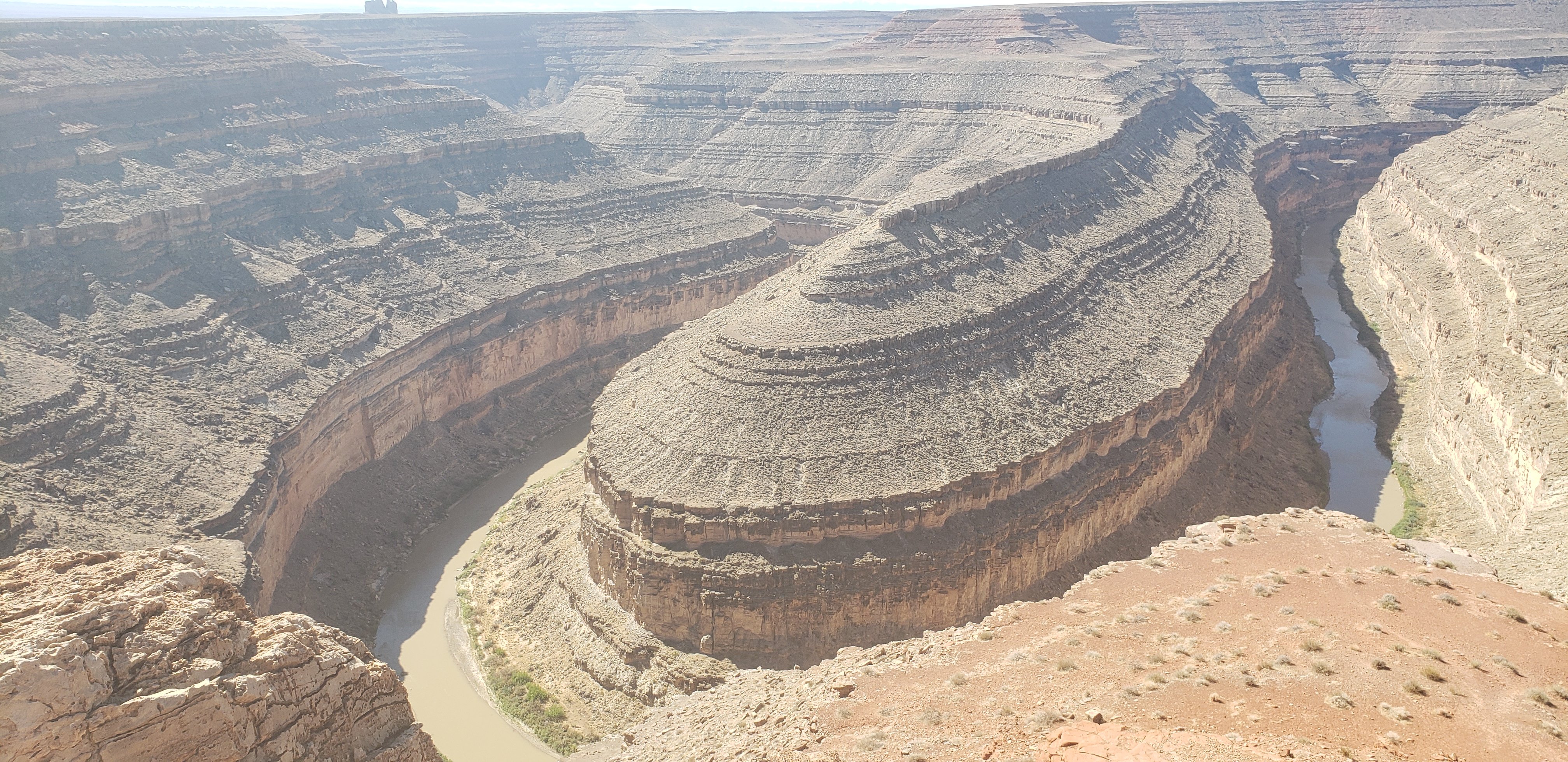
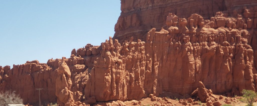
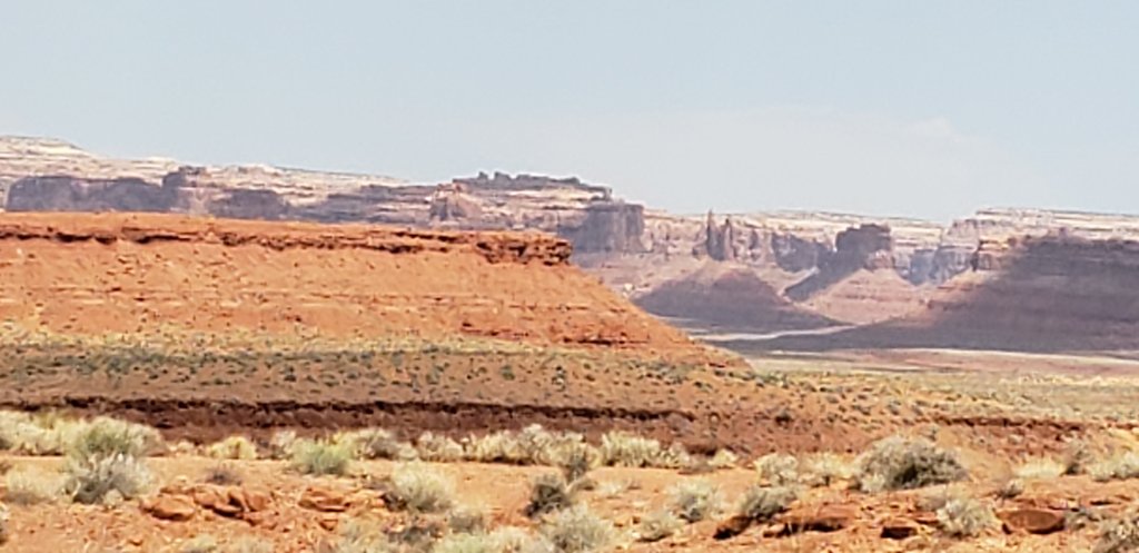
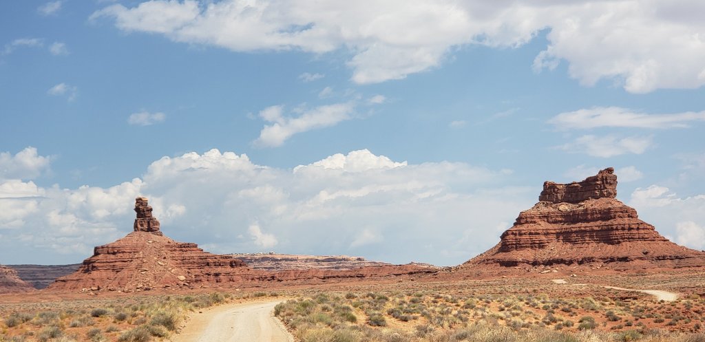
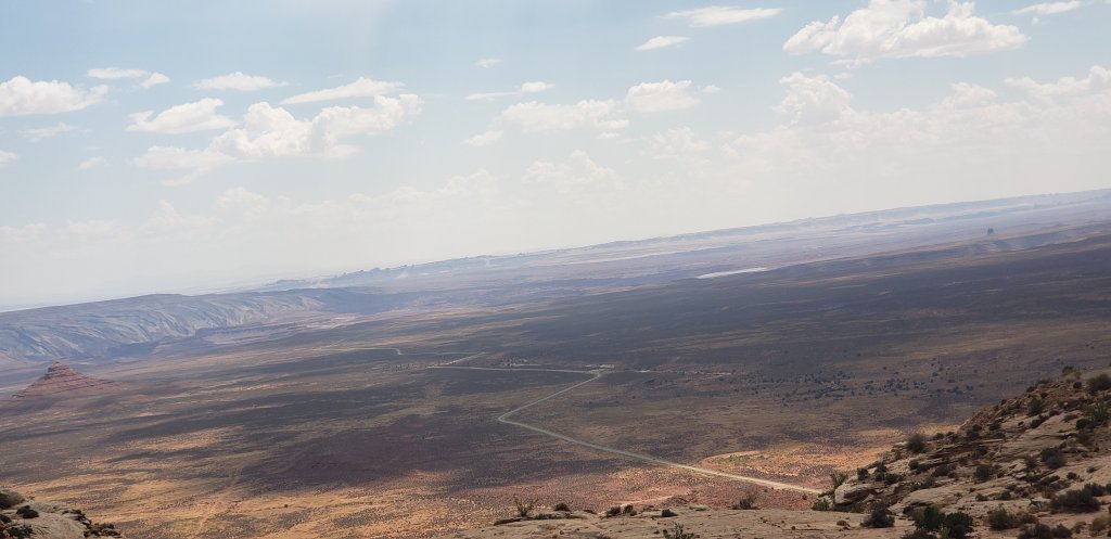
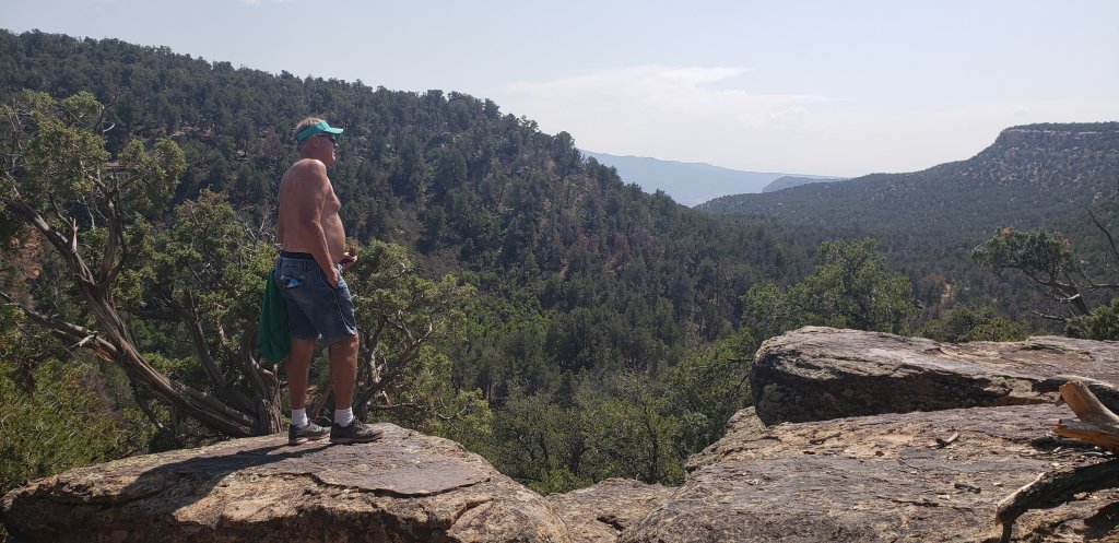
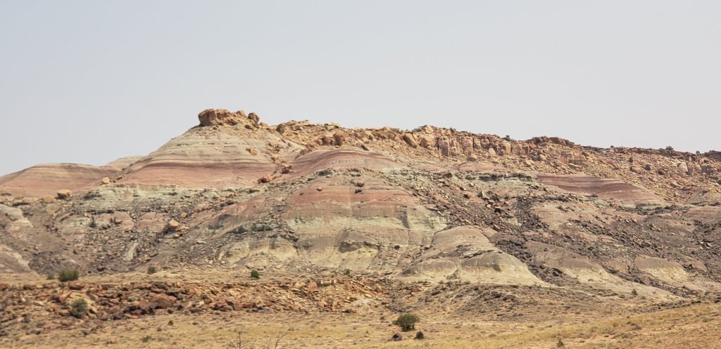
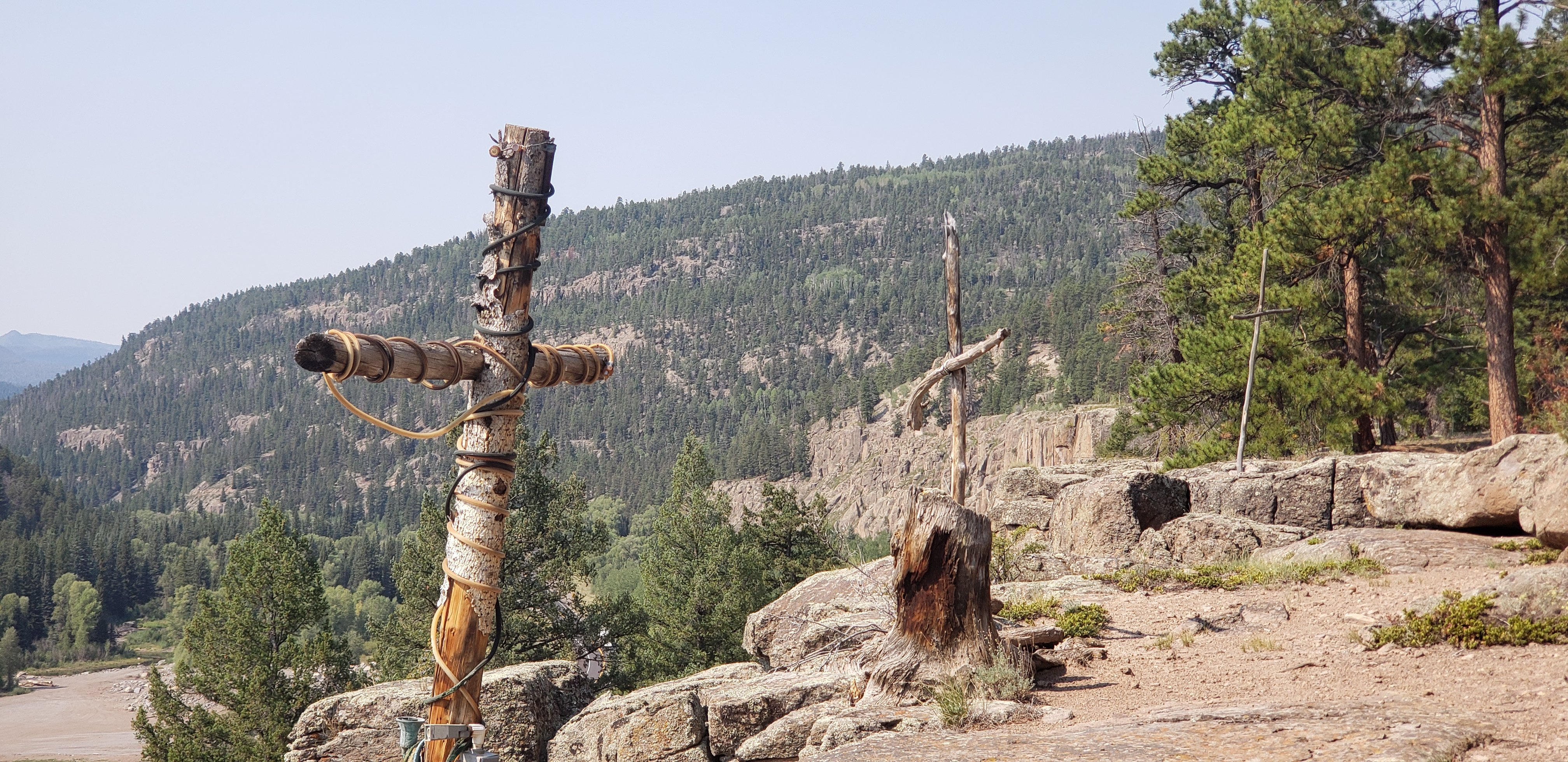
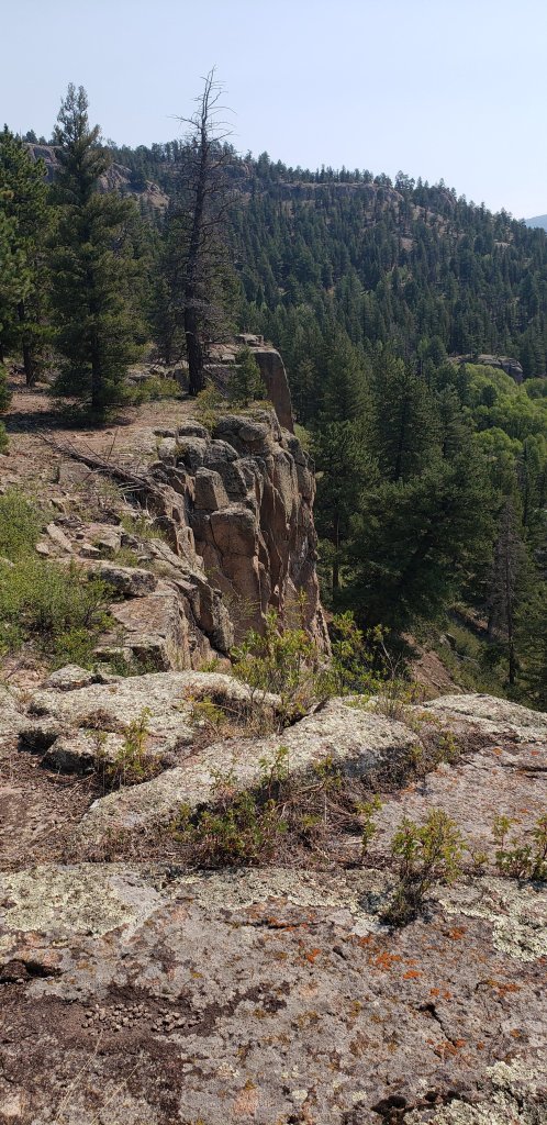
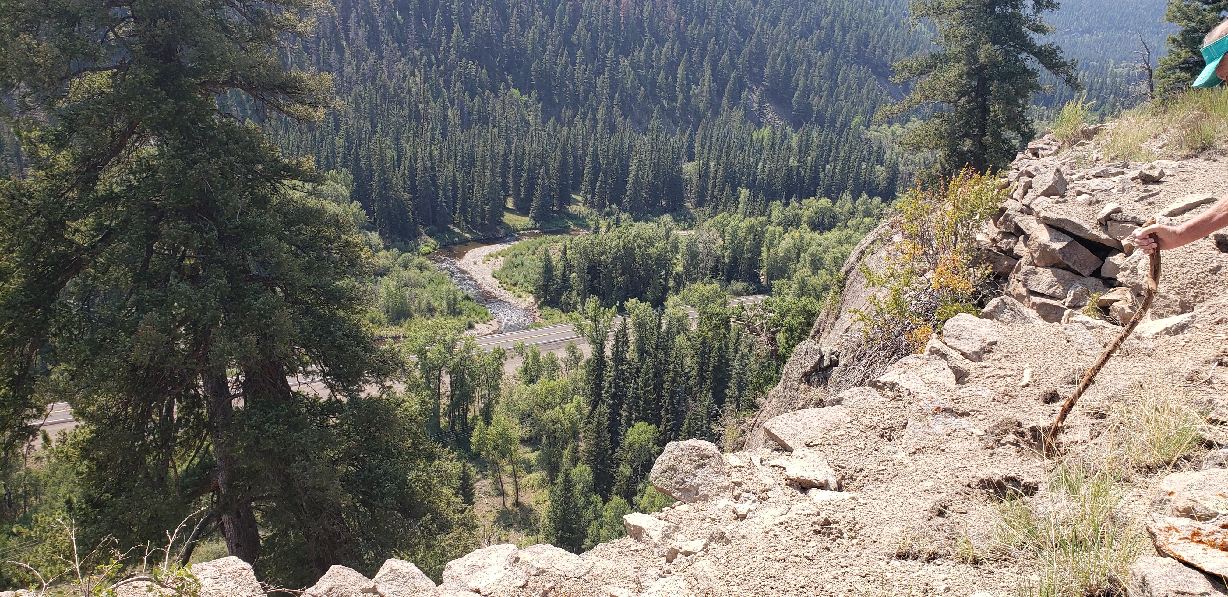
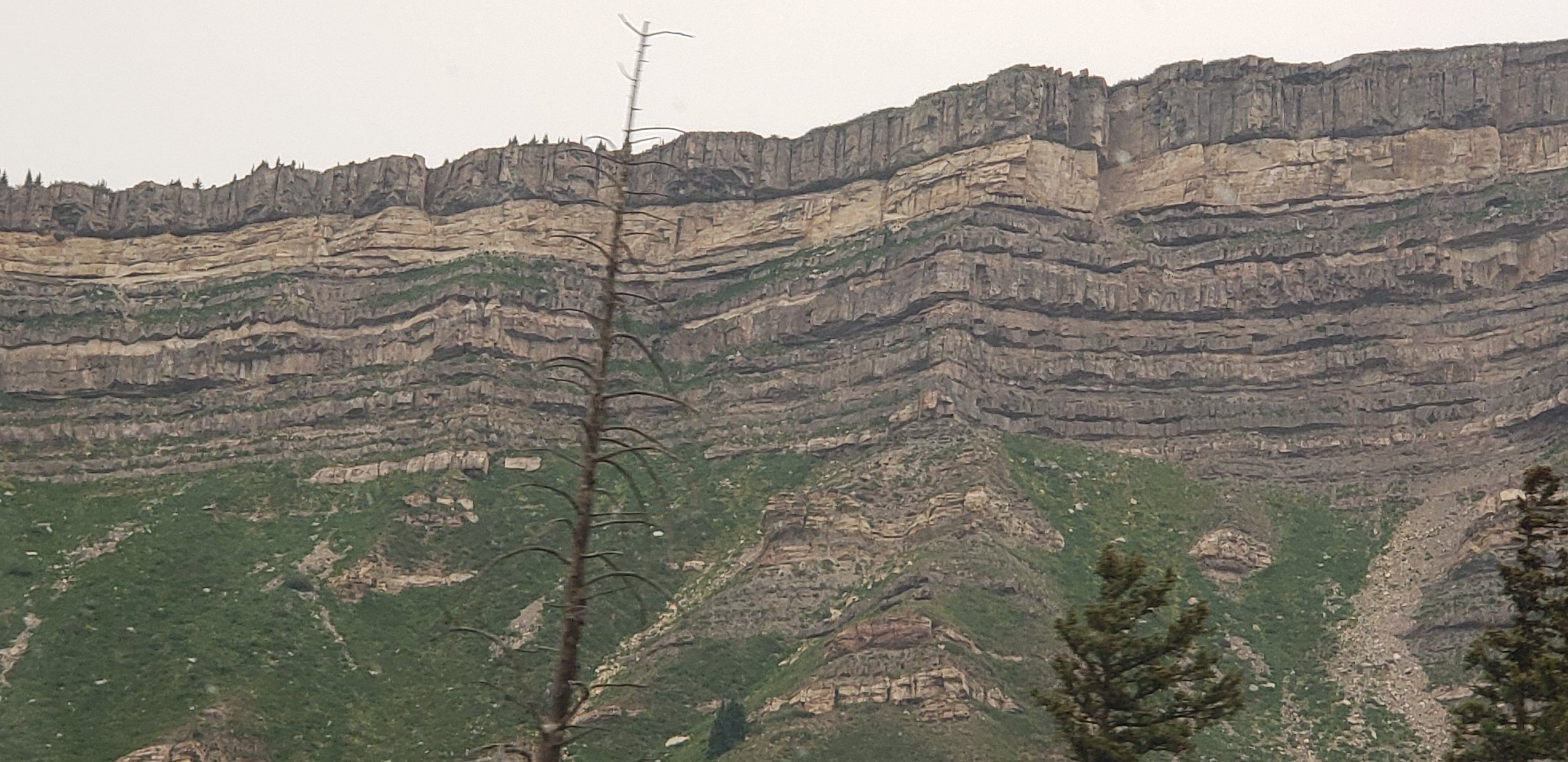
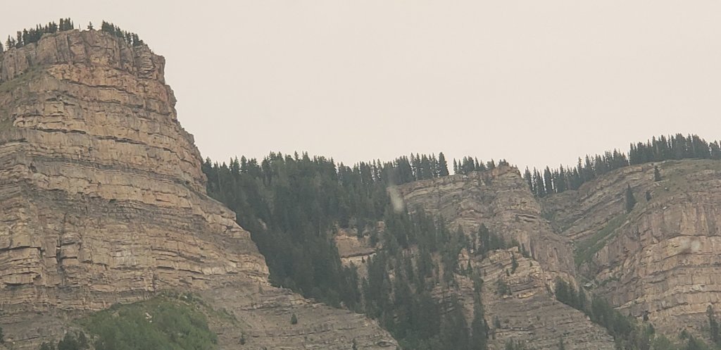
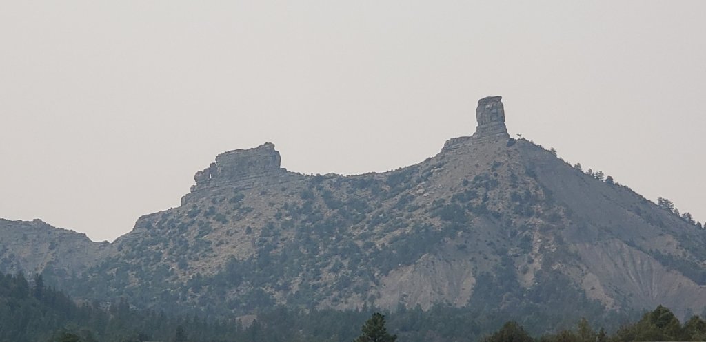
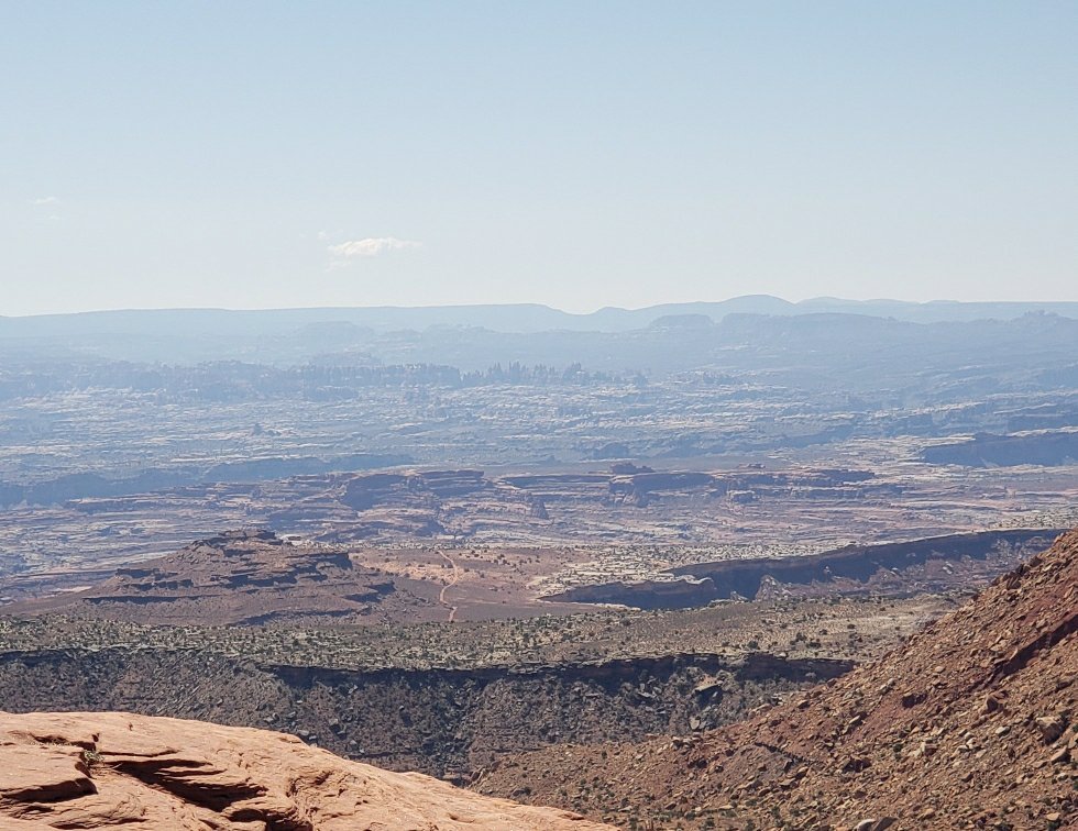
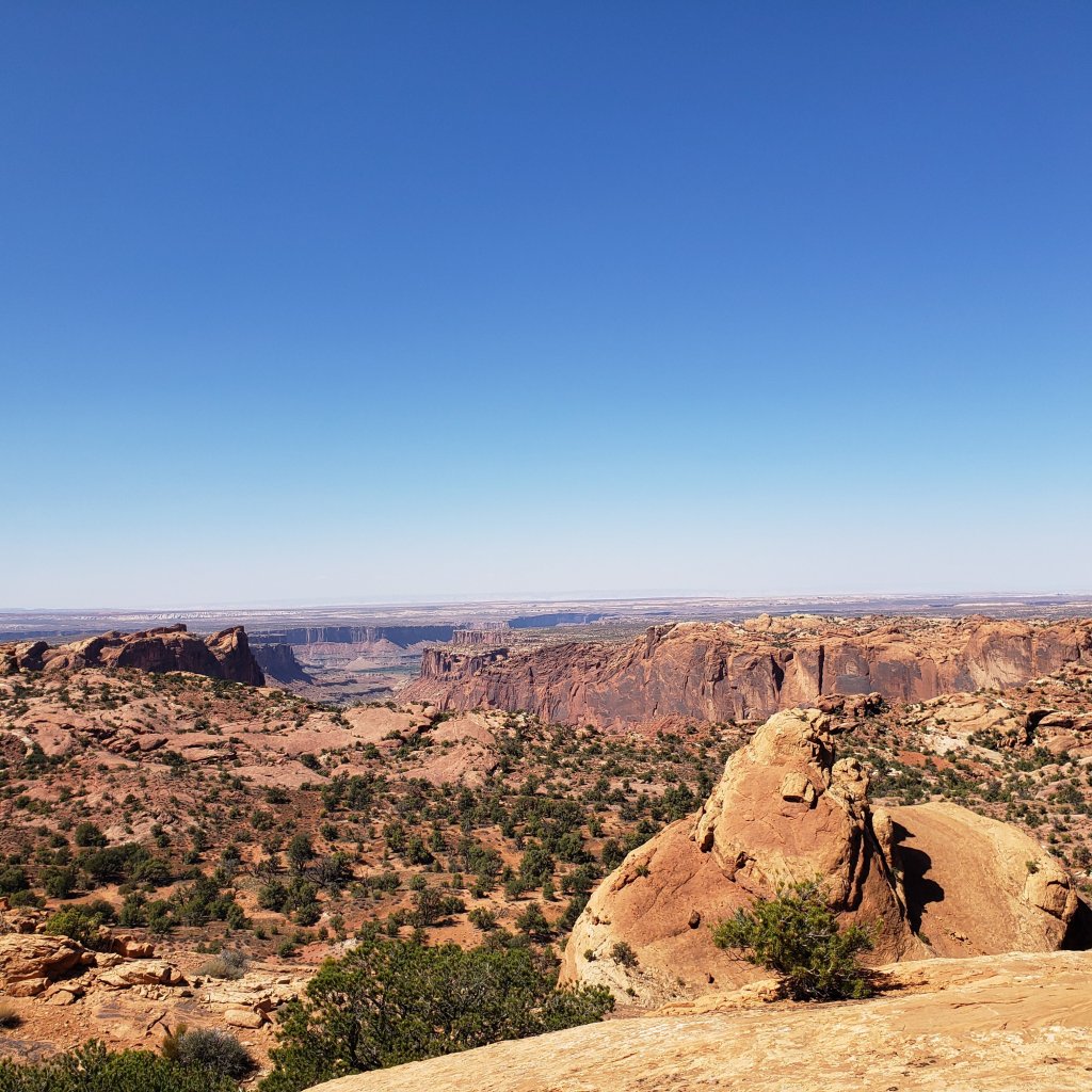
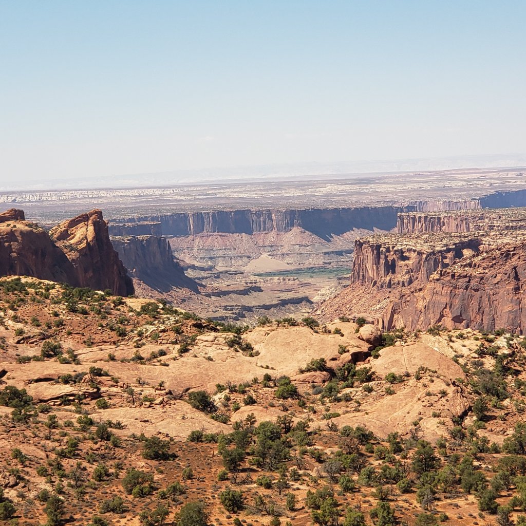
We hiked around the top to the Overlook.  We could see the Needle district to the left, the Maze District to the very far right and Glen Canyon National Monument to the west.   Wasn’t that just Grand.

little creature
little lizard
The Needles very far in the distance
The Green River

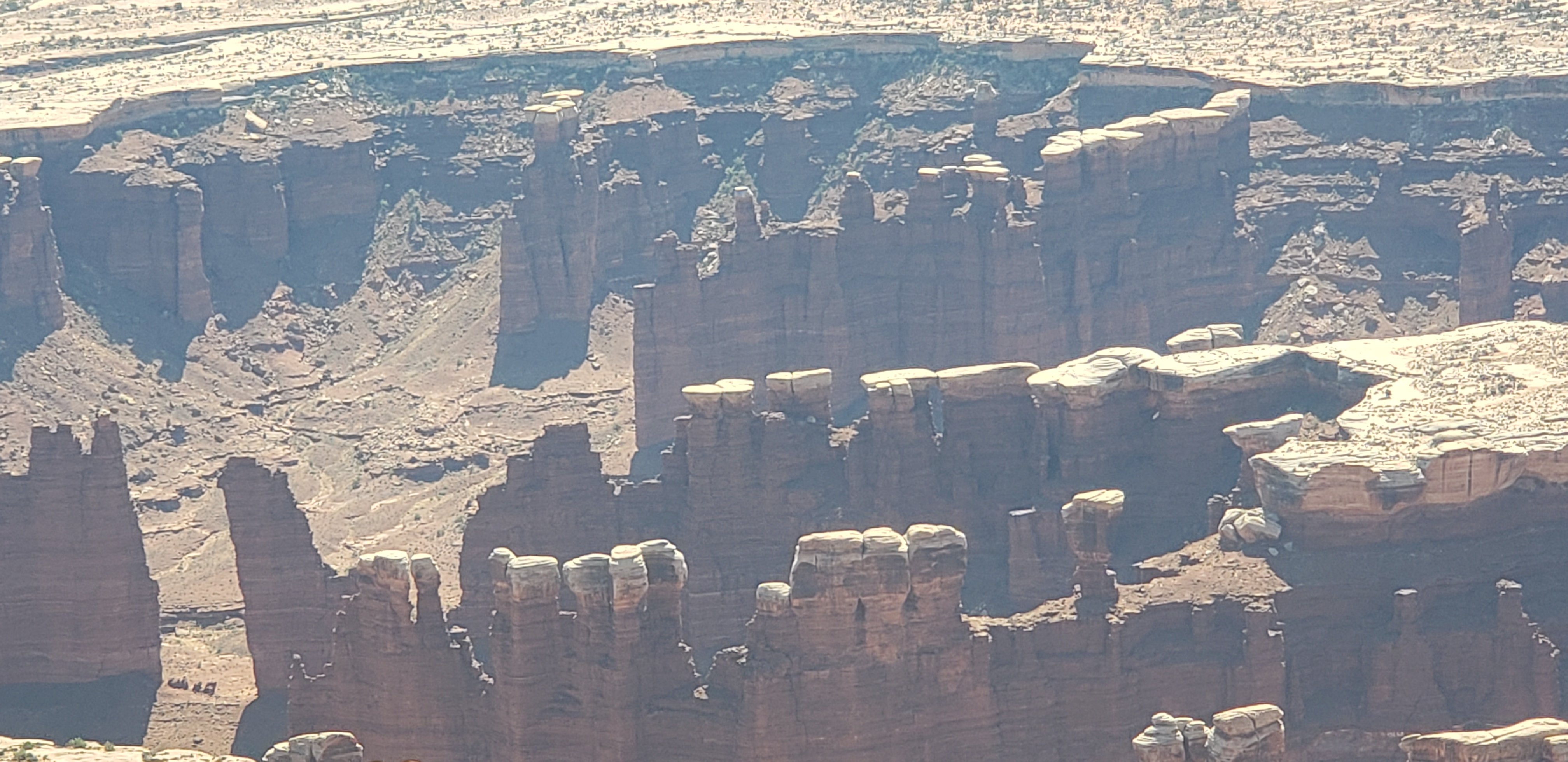
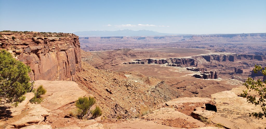
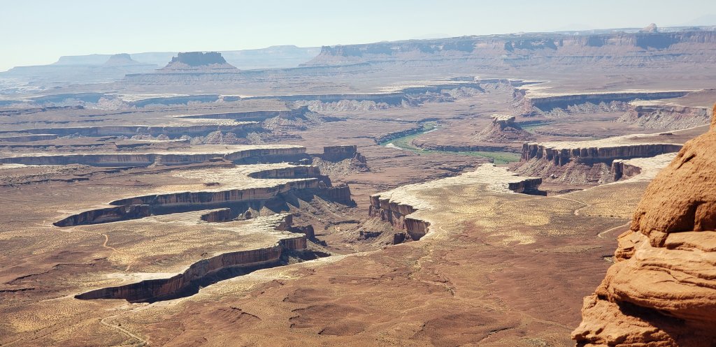
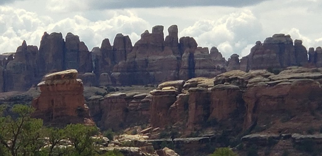
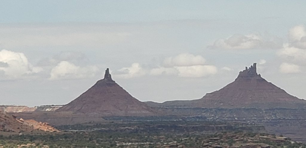
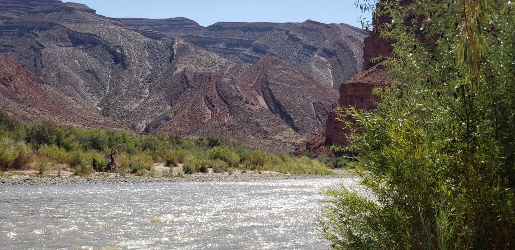
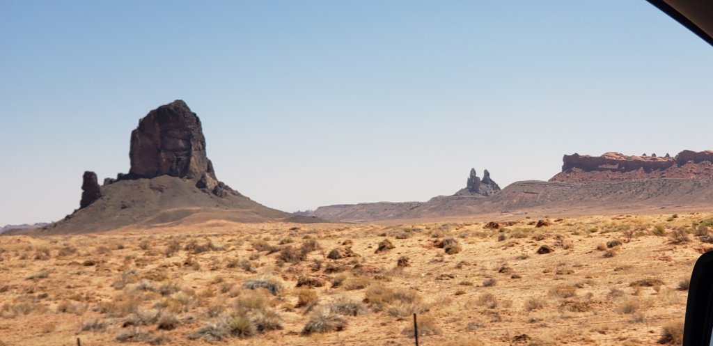
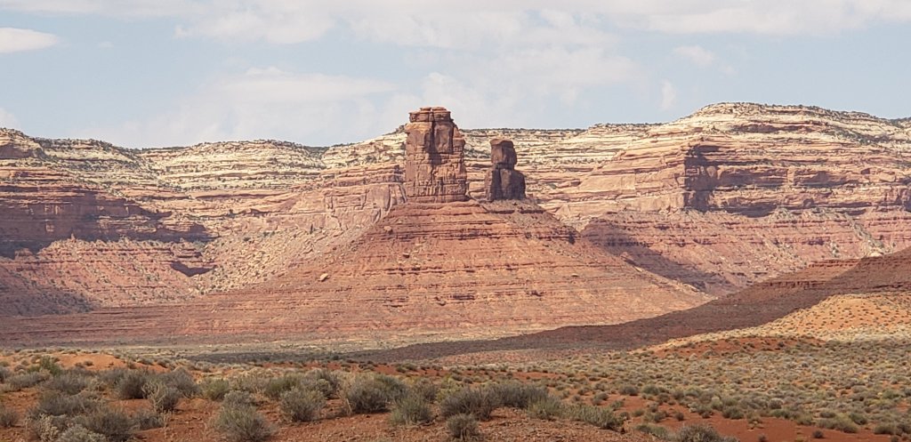
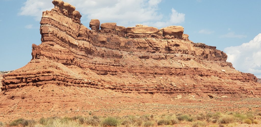
On the west south side of the river is the Maze District.

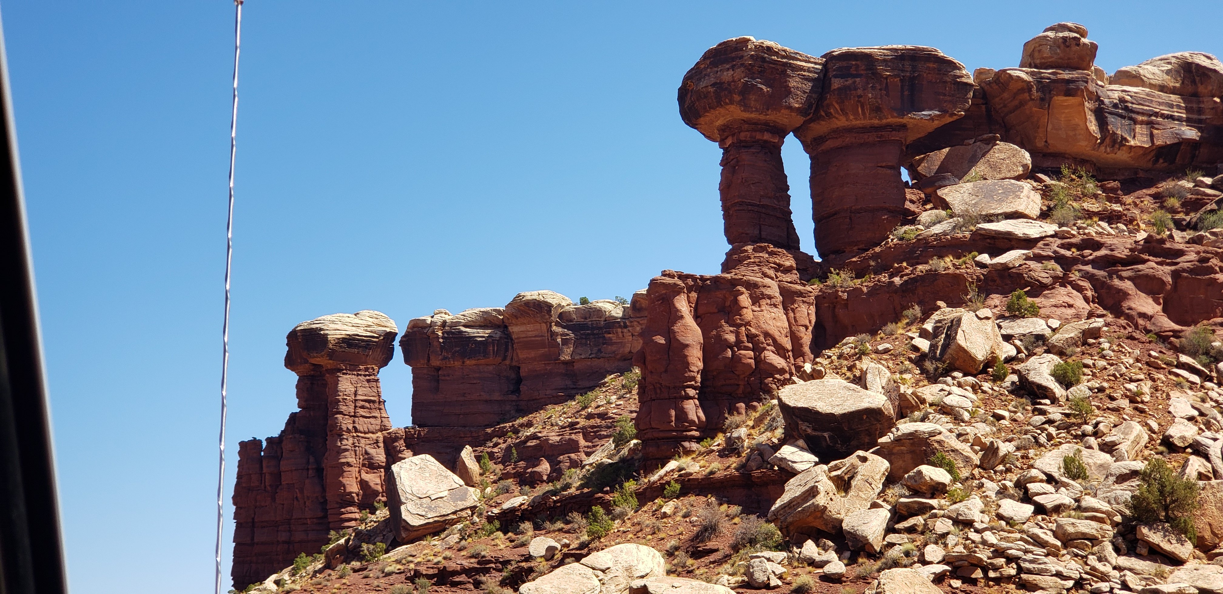
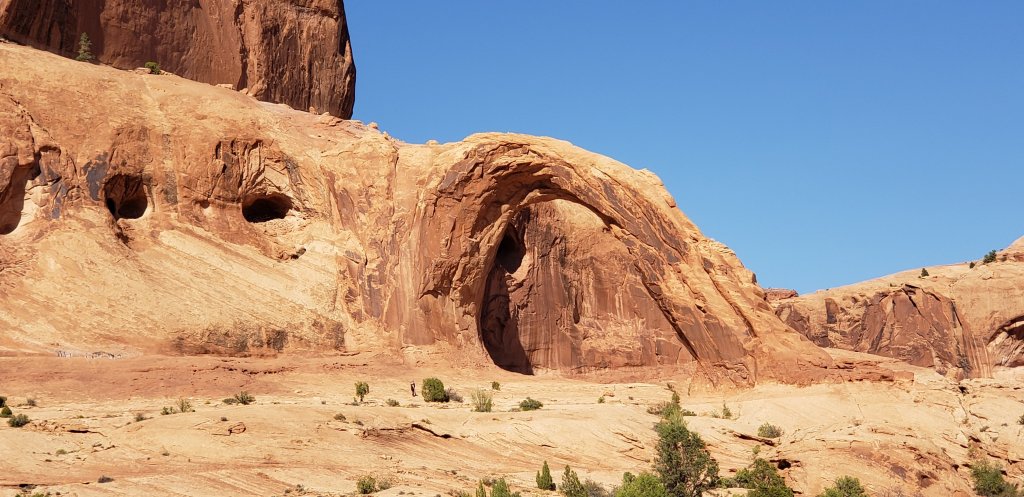
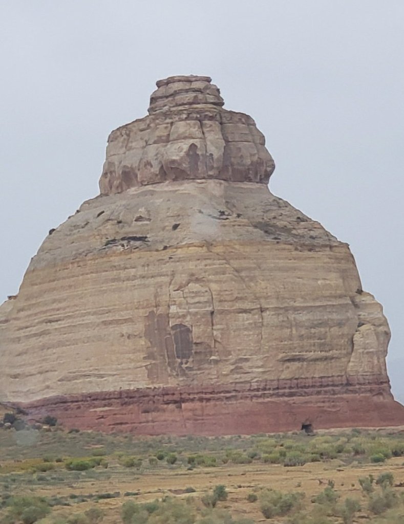
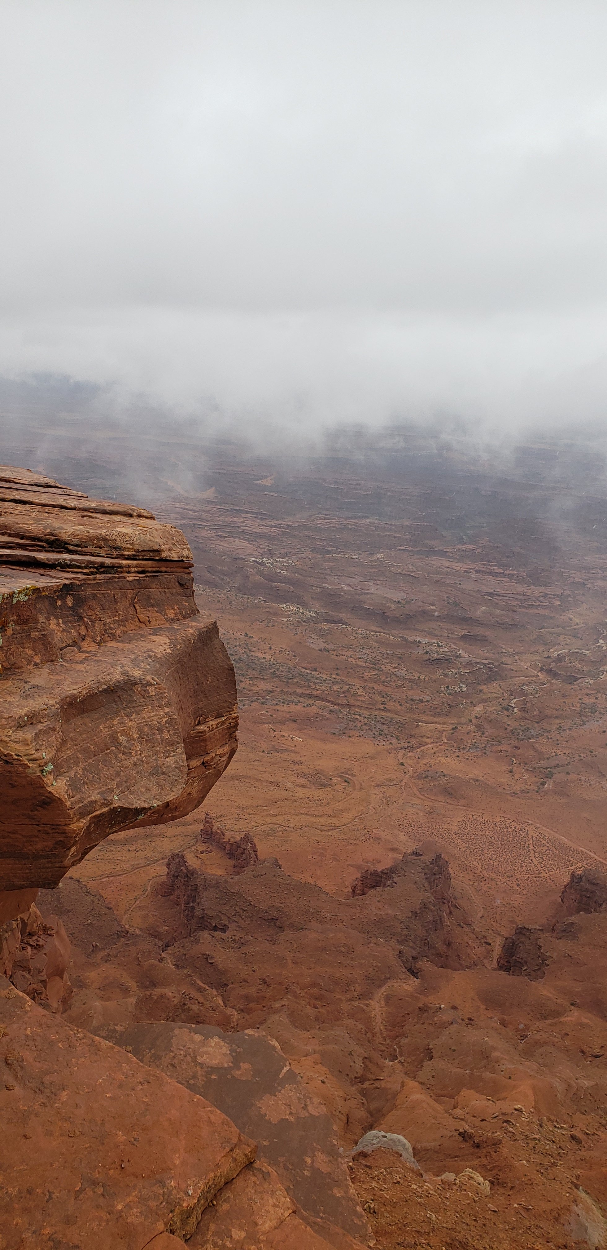
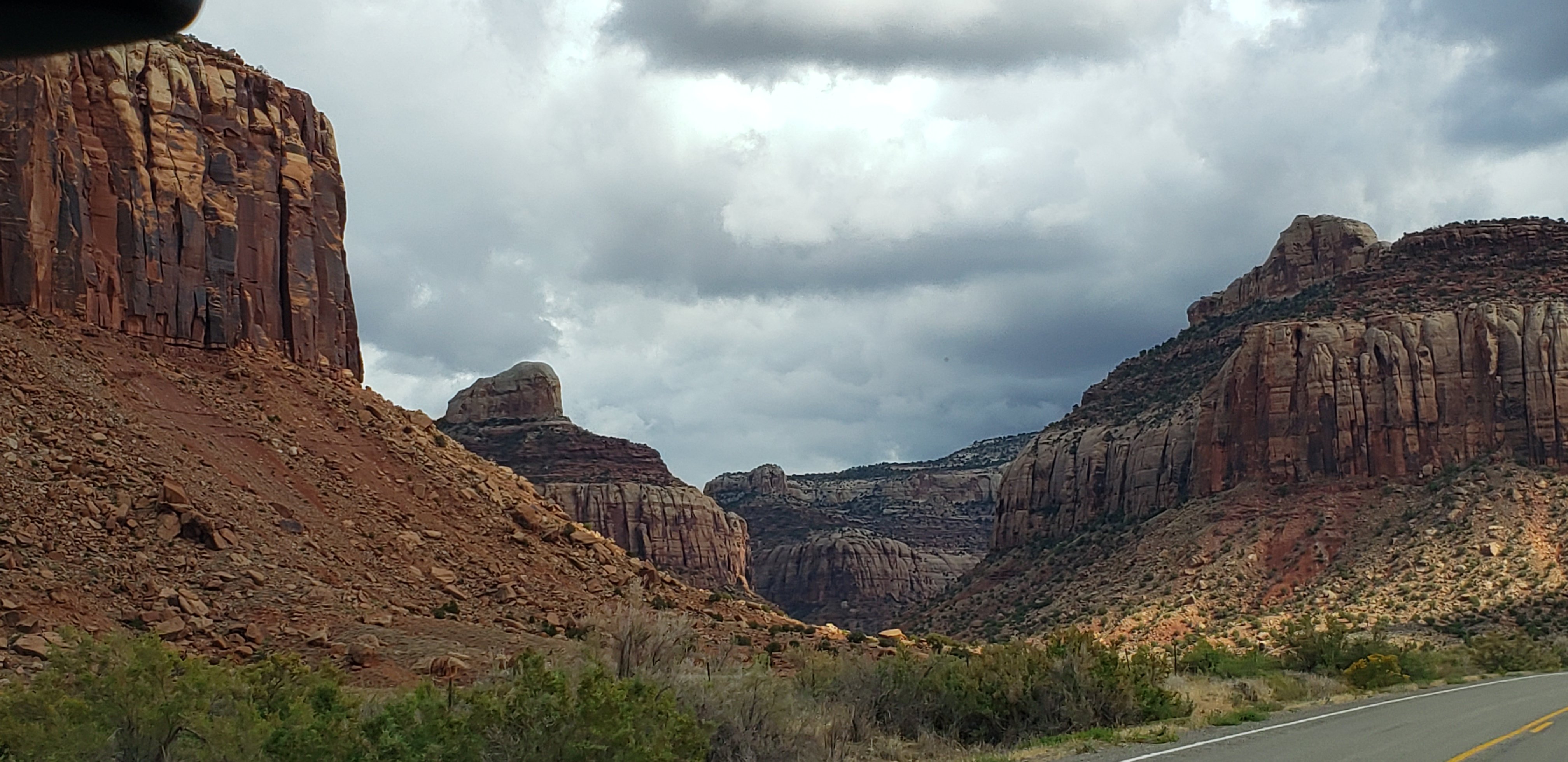
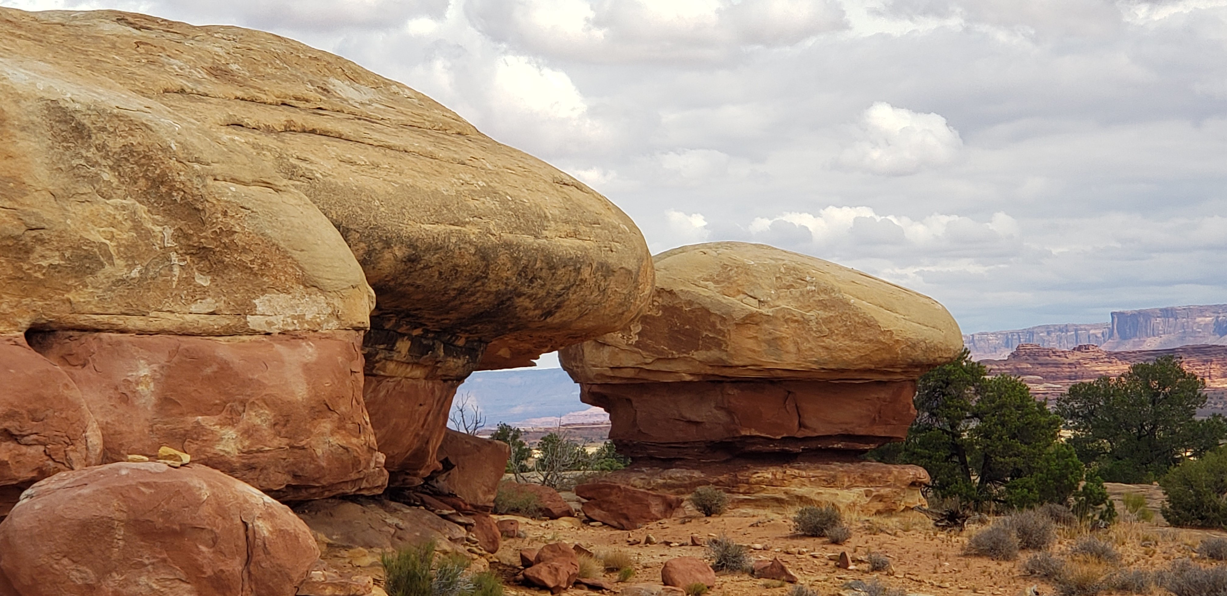
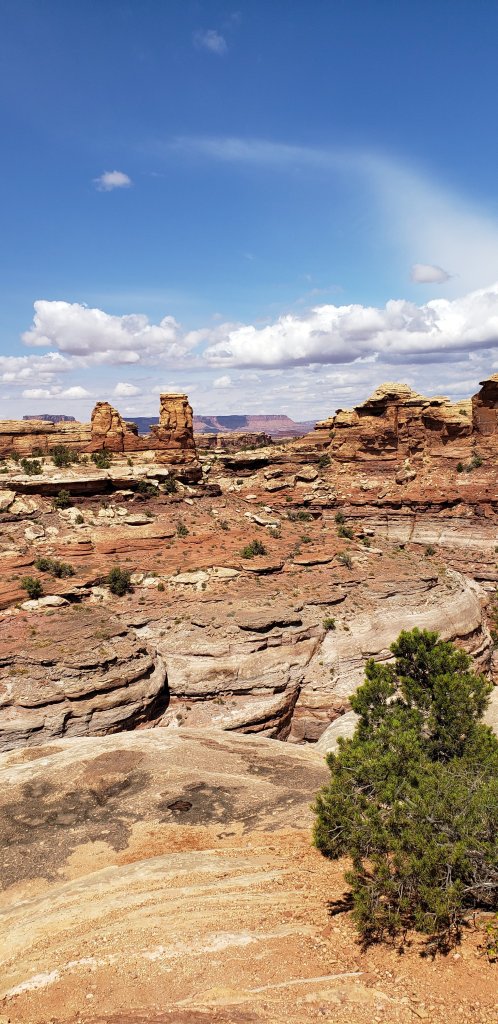
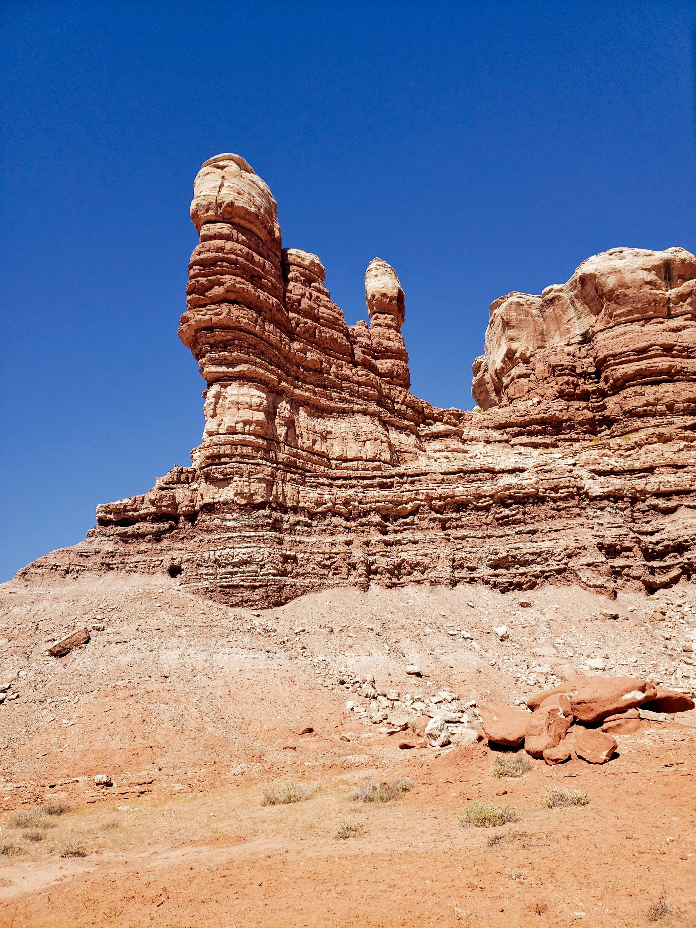
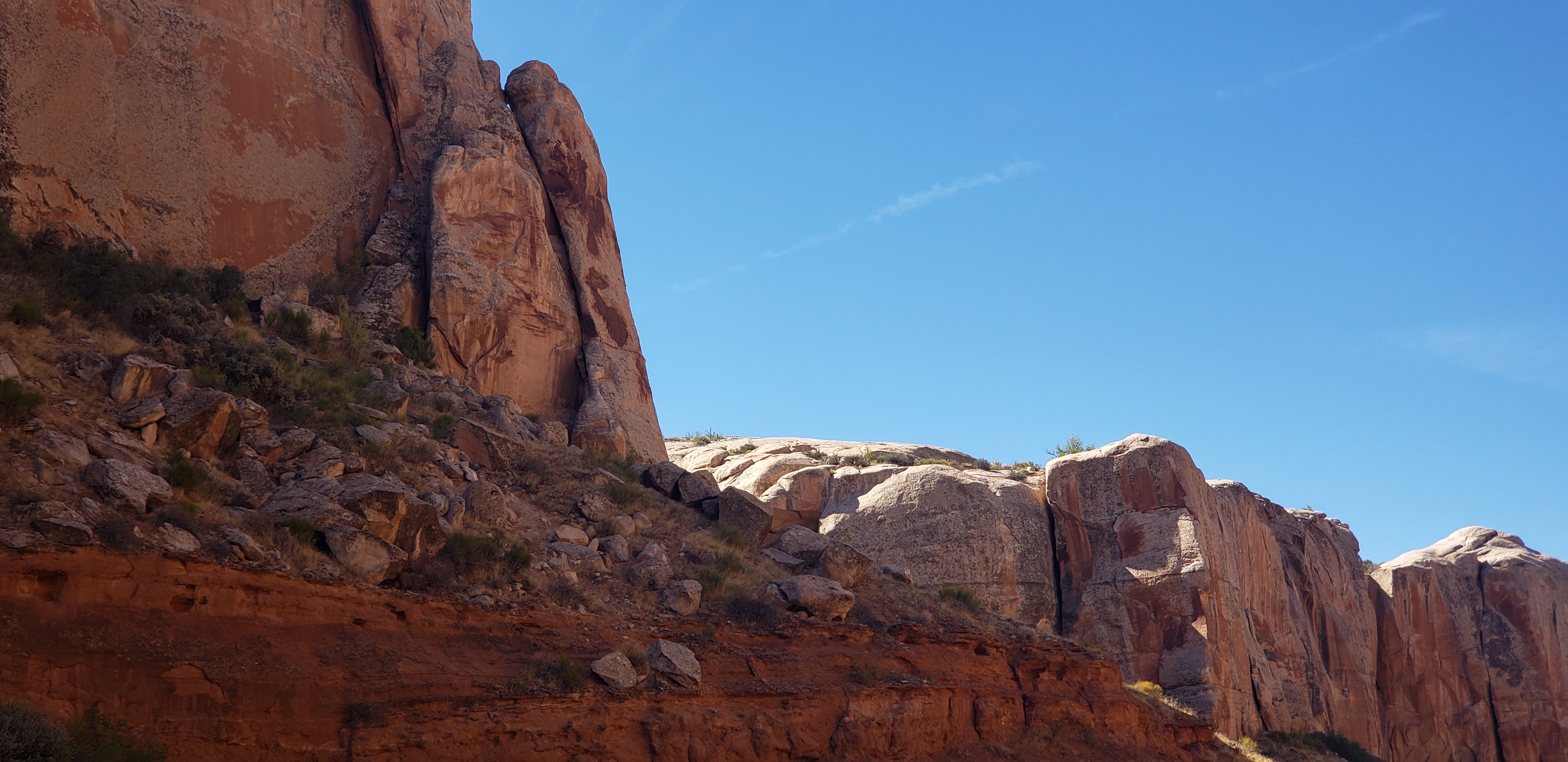
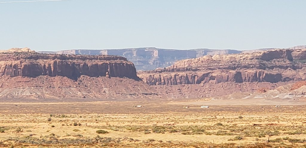
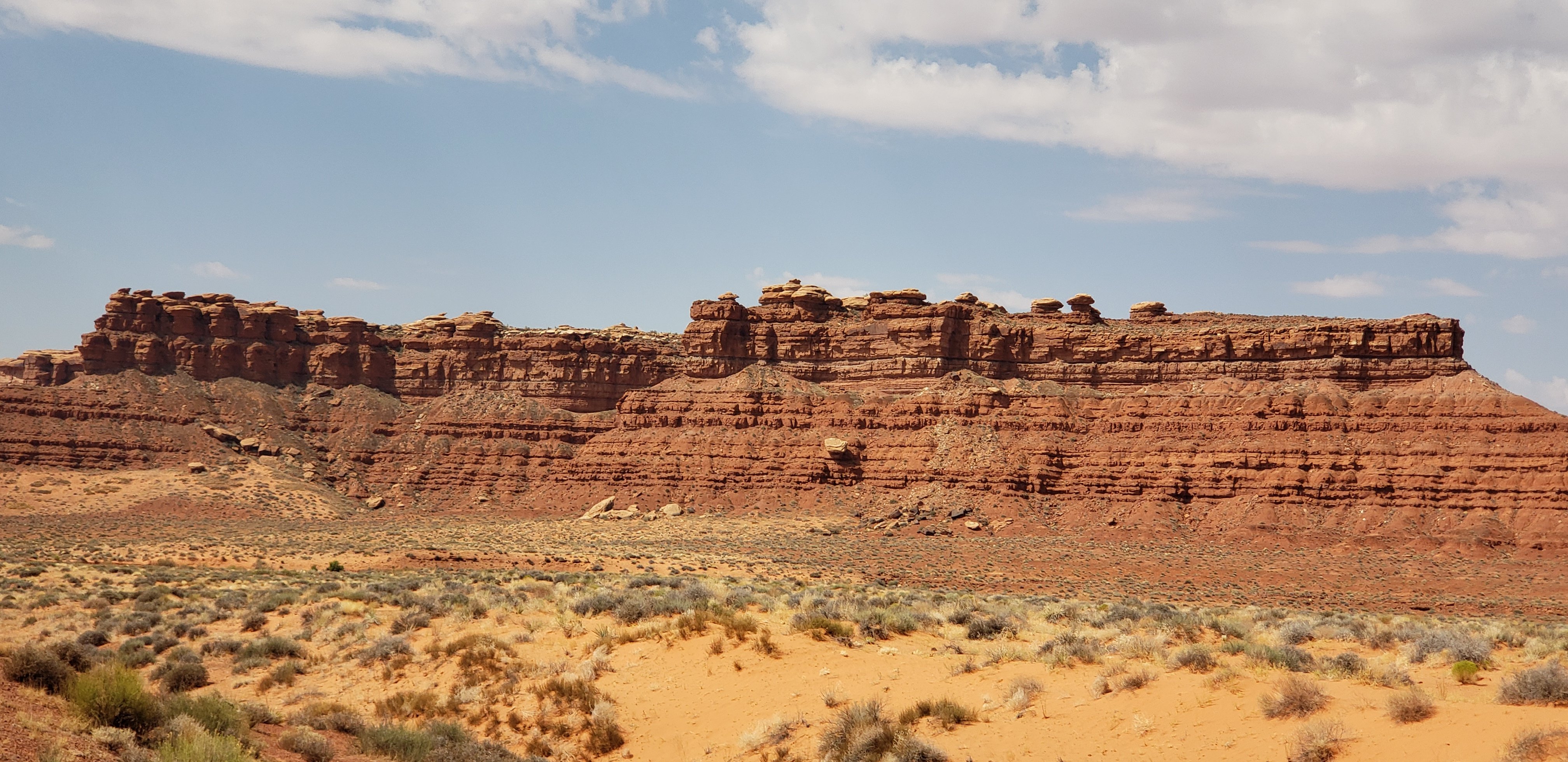
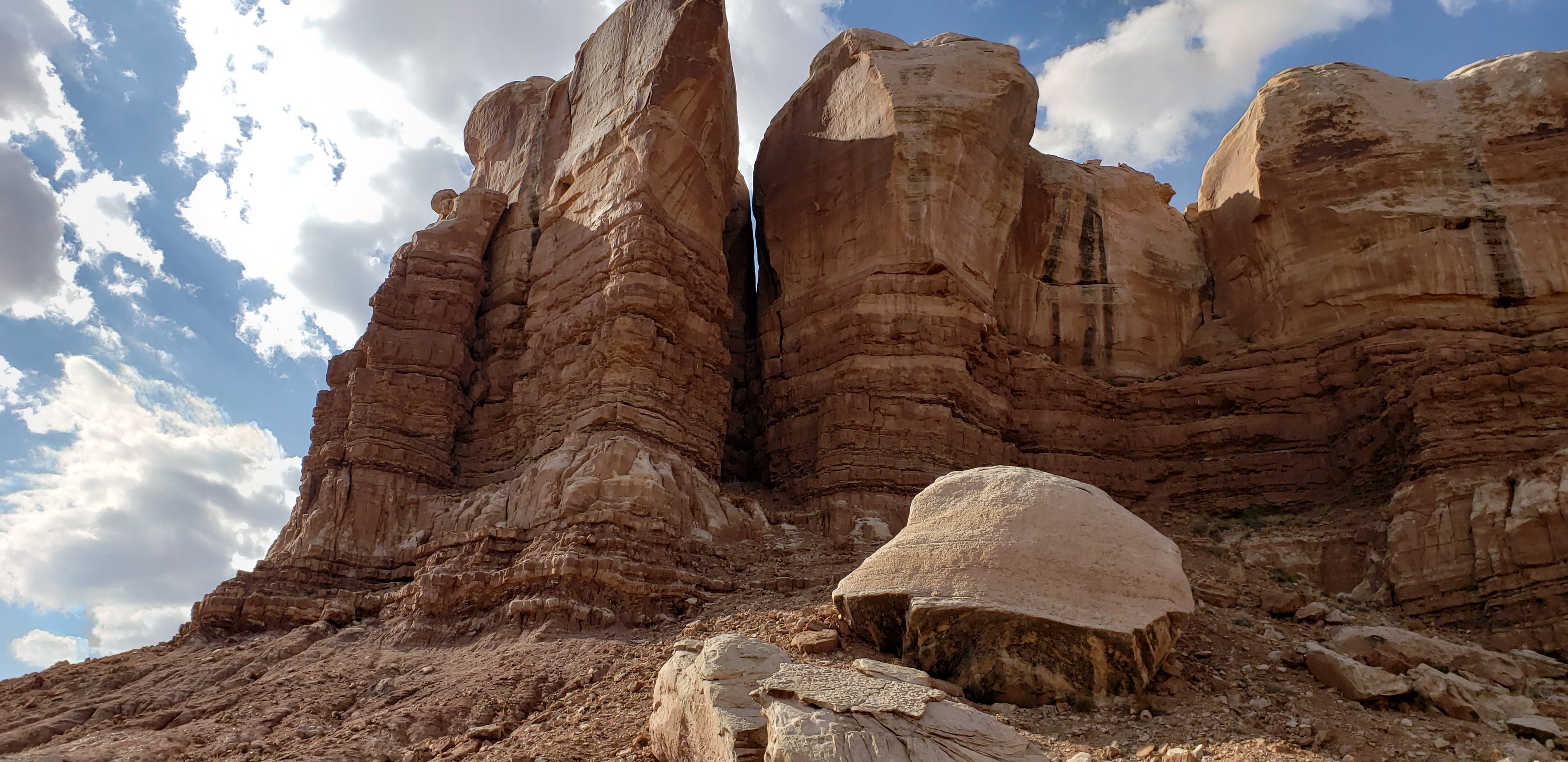
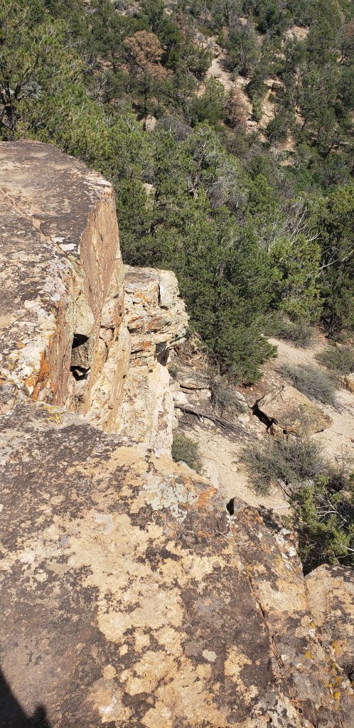
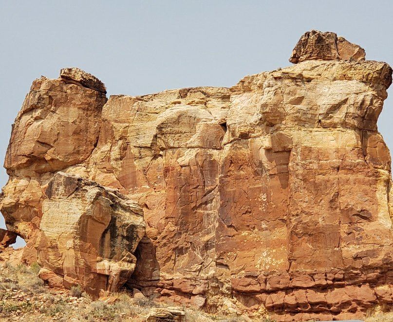
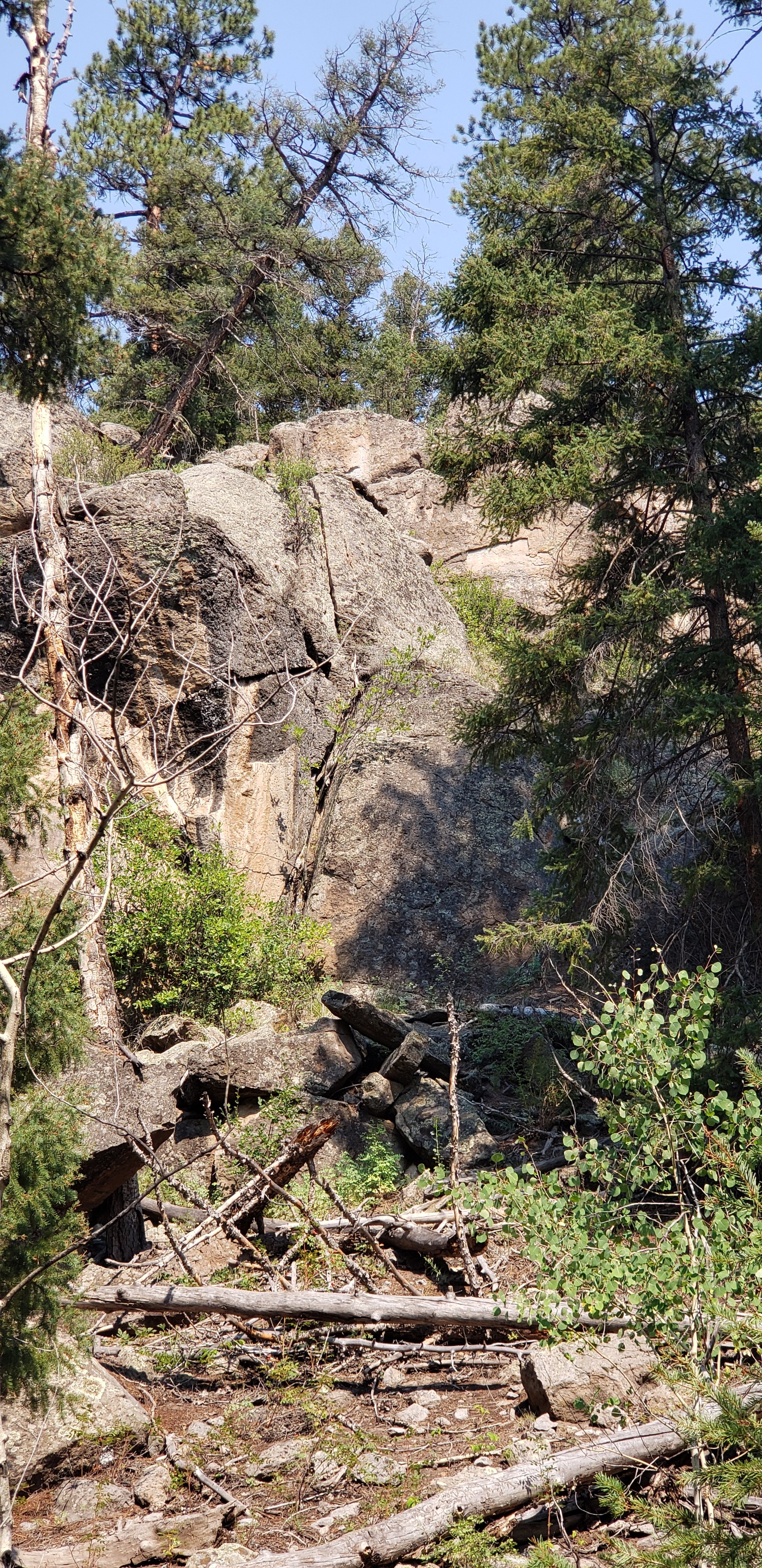
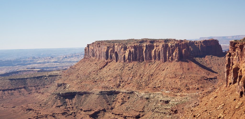
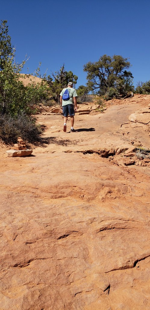
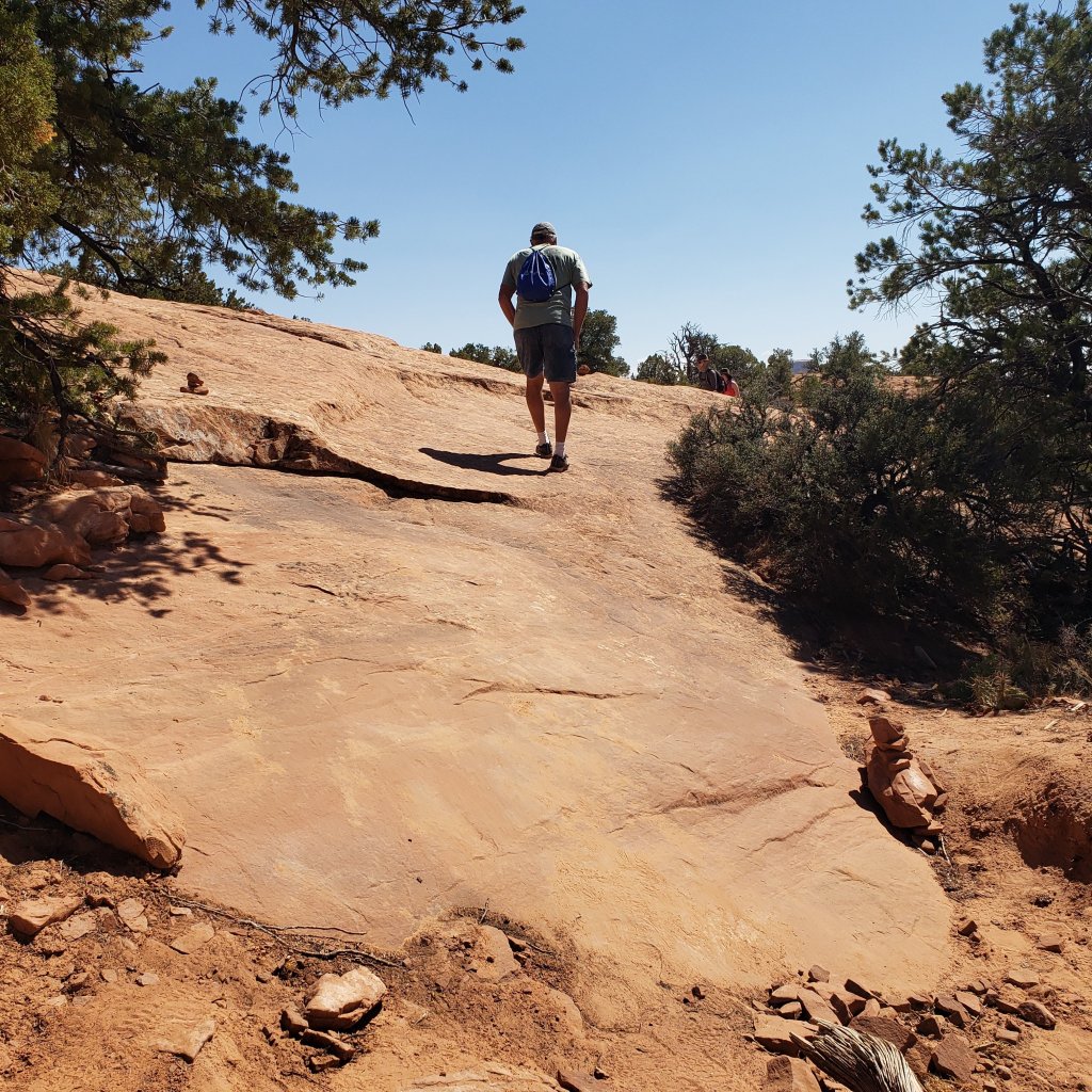
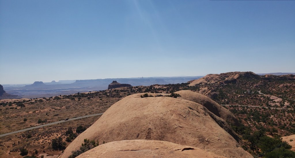
Then, we went to see the Whale.  Our hike took us to the top of the whale to view the Island in the Sky. The Whale is a long high white formation of rocks with rocks forming the spout. We climbed that whale.

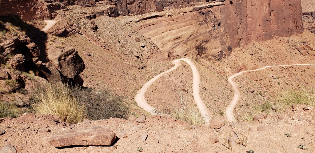
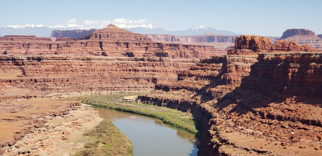
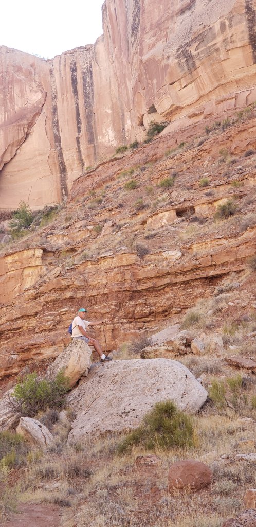
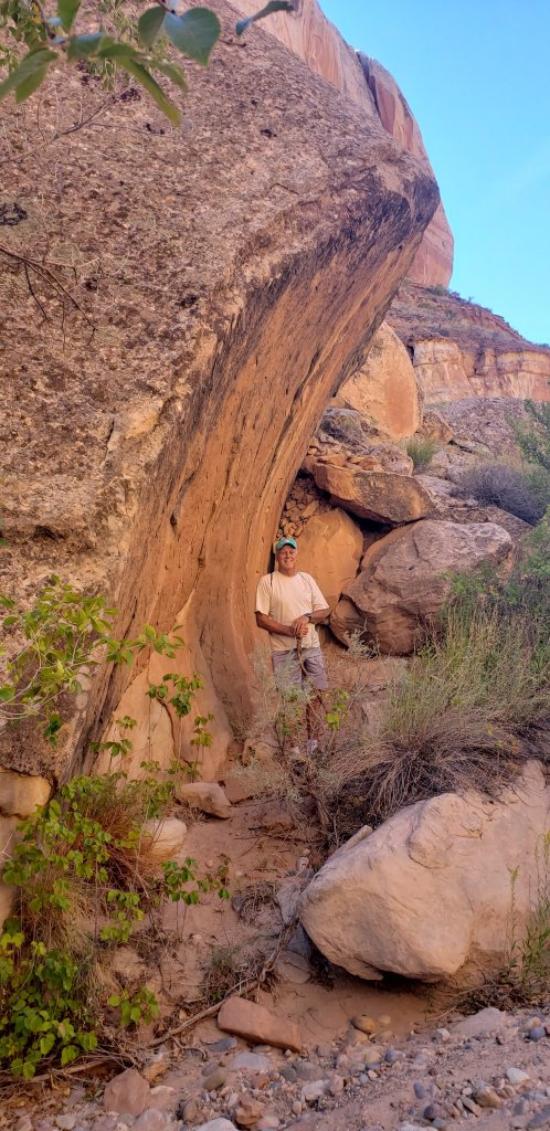
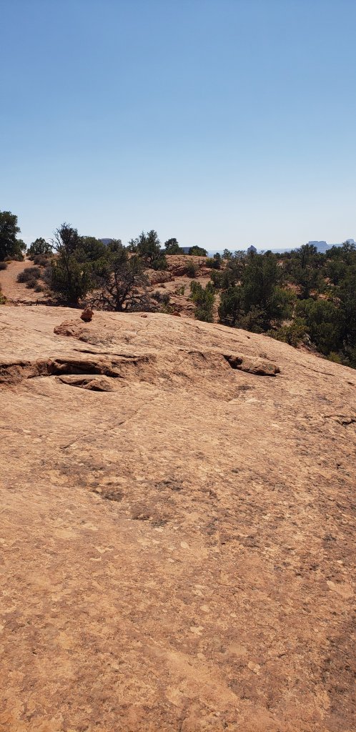
Our hike was climbing a very steep incline of rock.  We could have tumbled down the steep descent, however, neither one of us died today.  Quite a rewarding day for us.  We stood on top of the Whale and saw beautiful rock formations.

Following the cairns
On top of the Whale
Island in the Sky

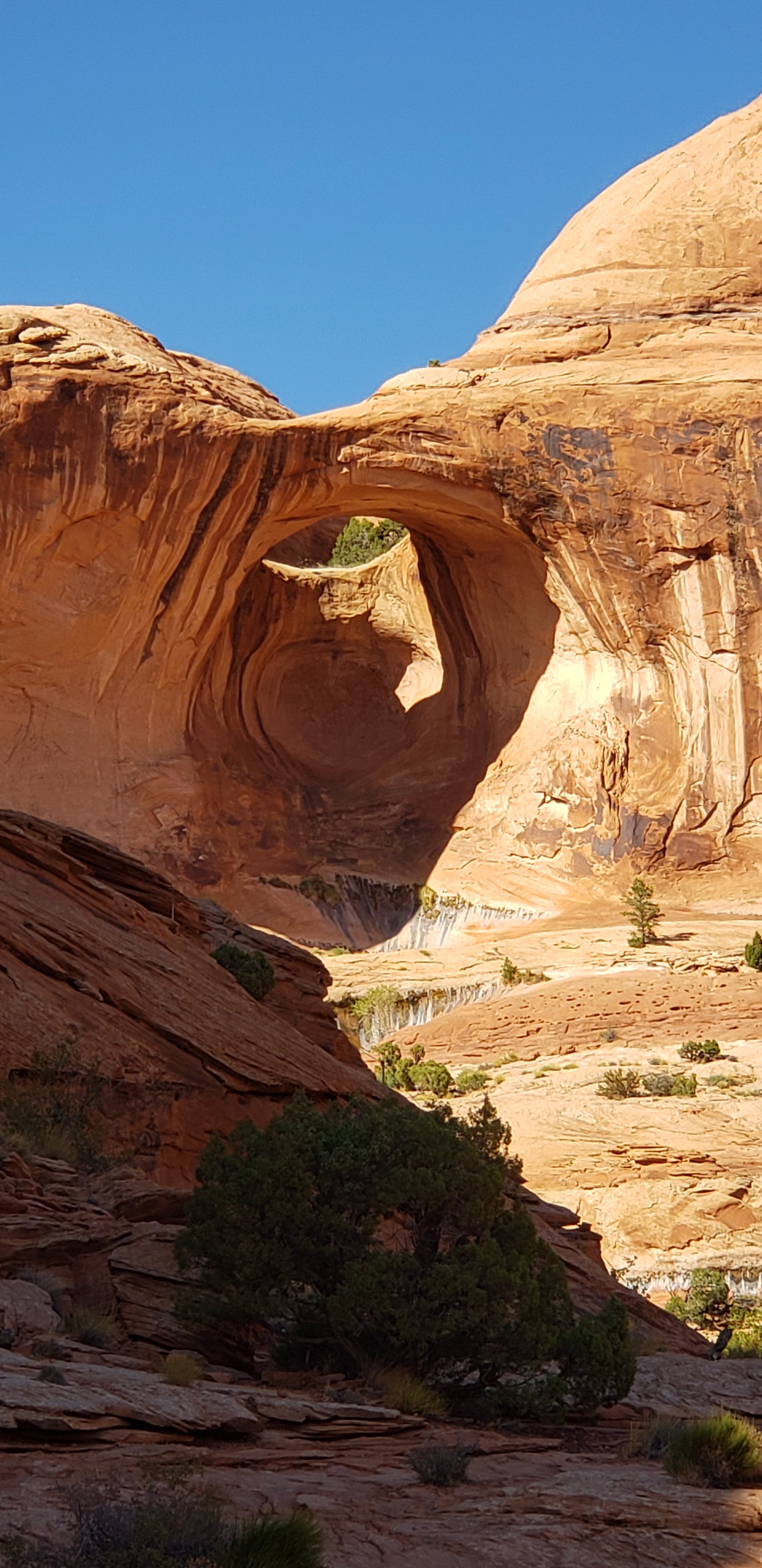
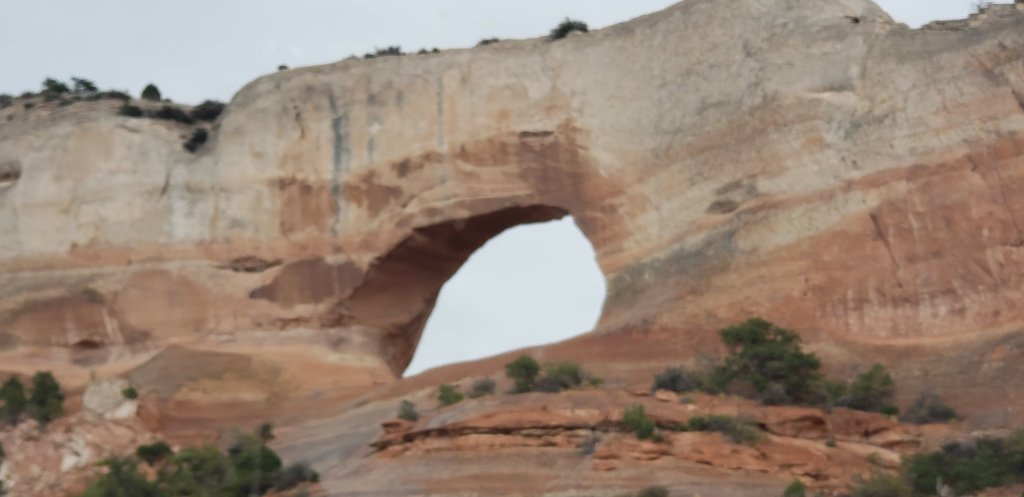
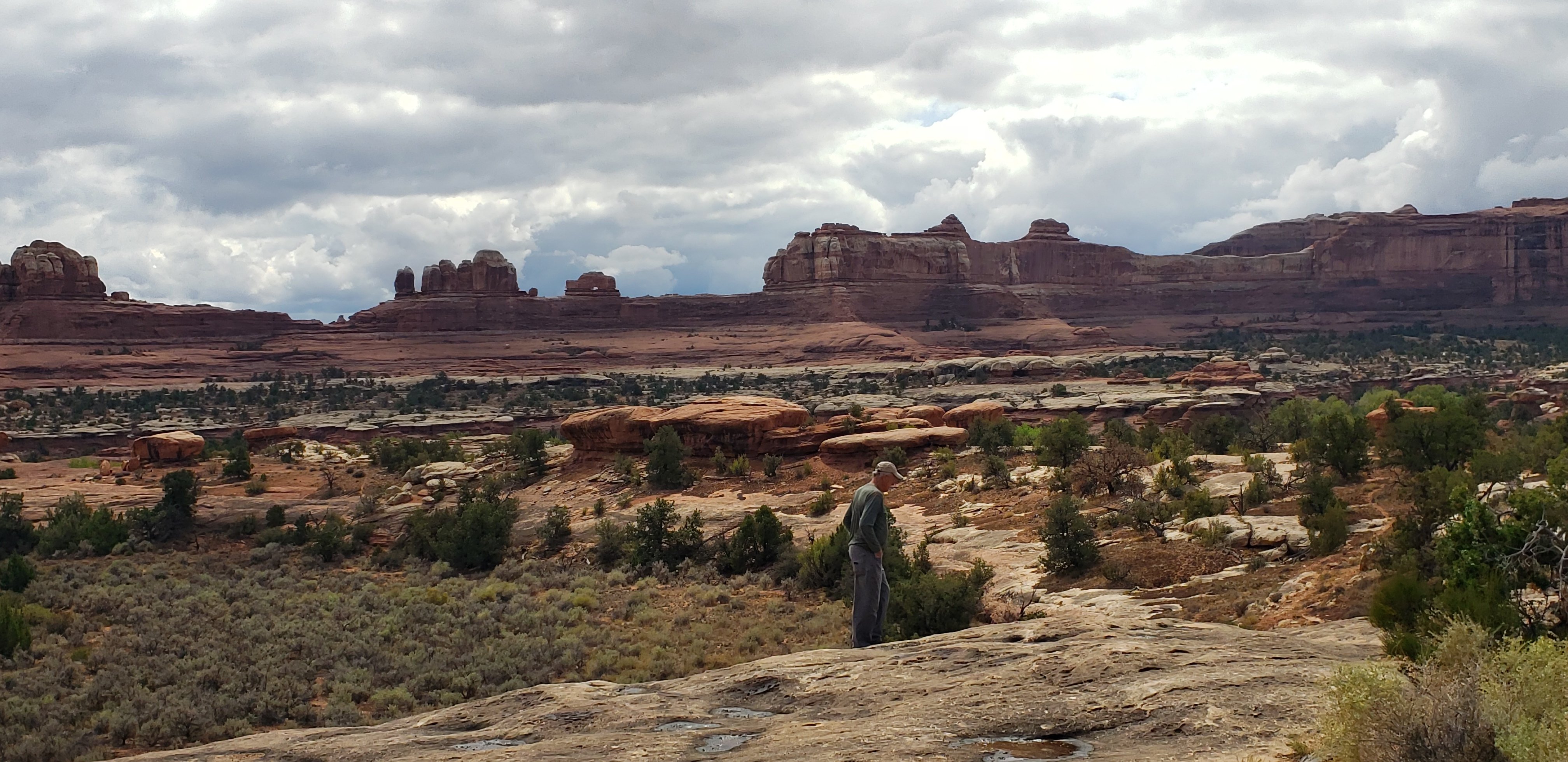
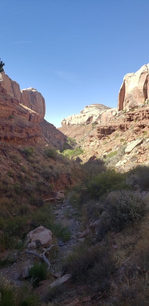
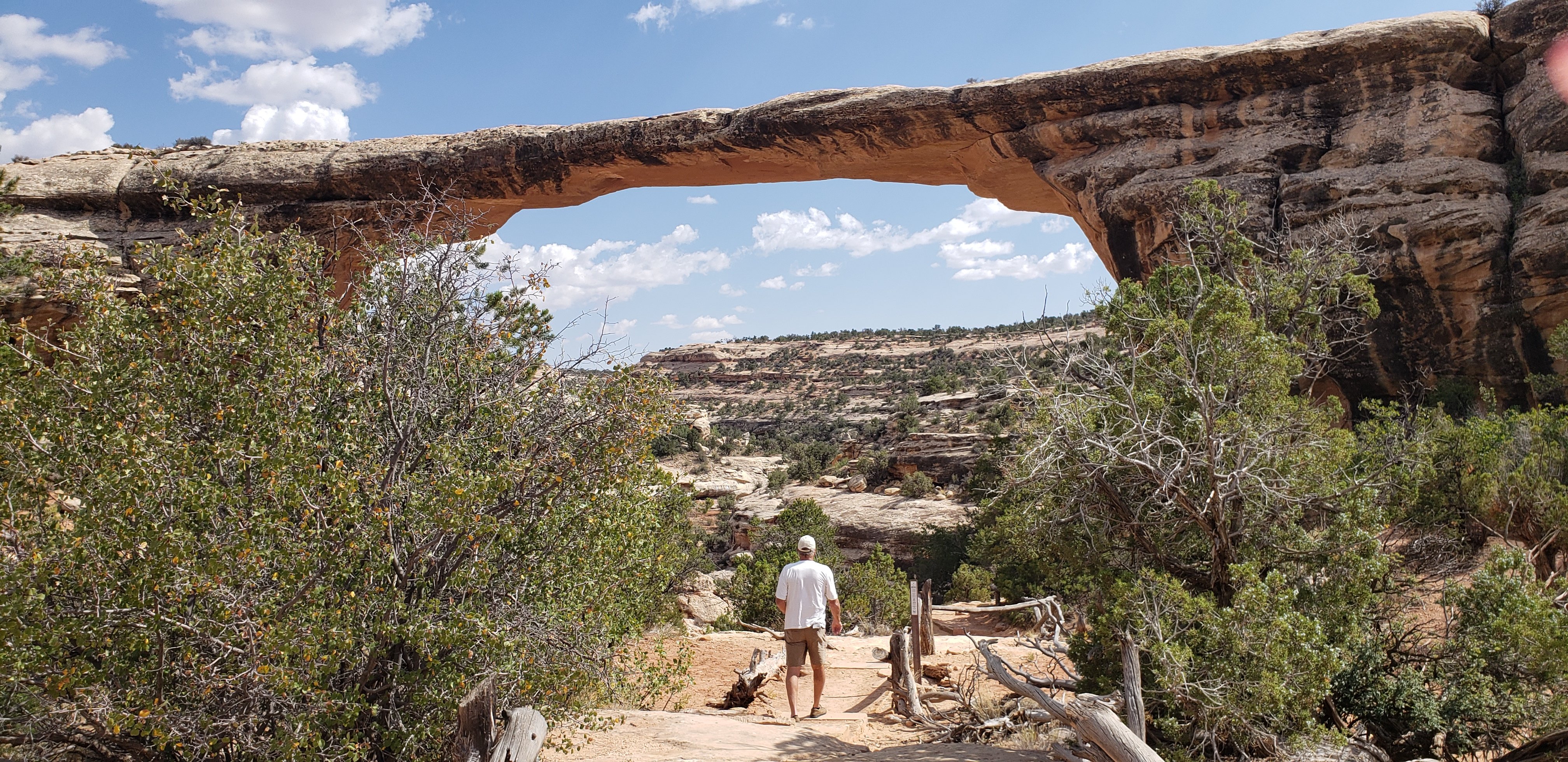
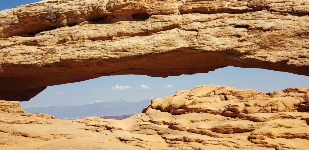
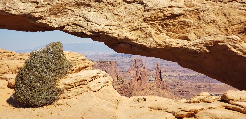
On we go to see the Mesa Arch.   By this time we have hiked approximately 3 miles.  Definitely worth another mile to see this.

Mountains in the back
Mesa Arch

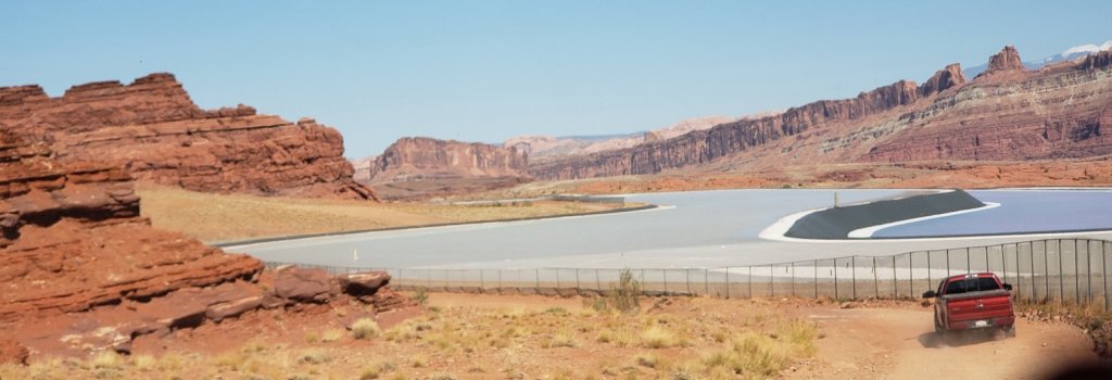
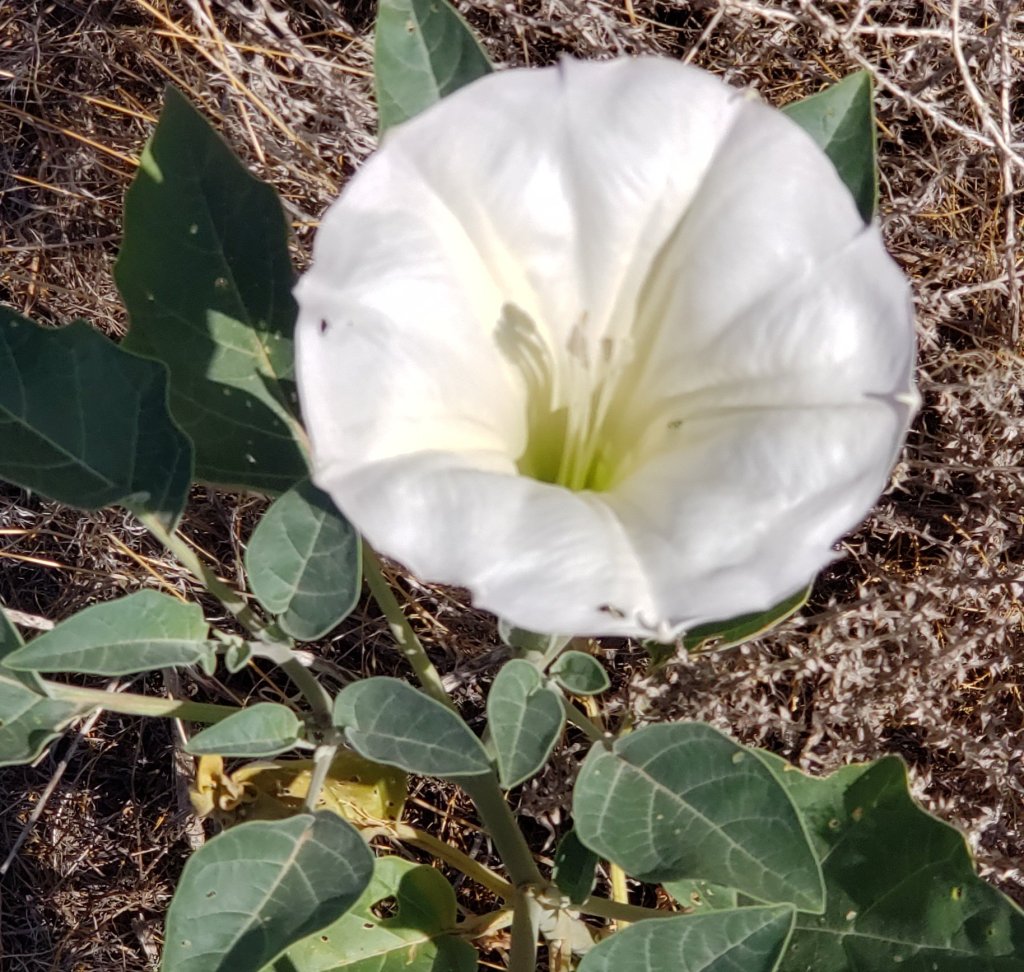
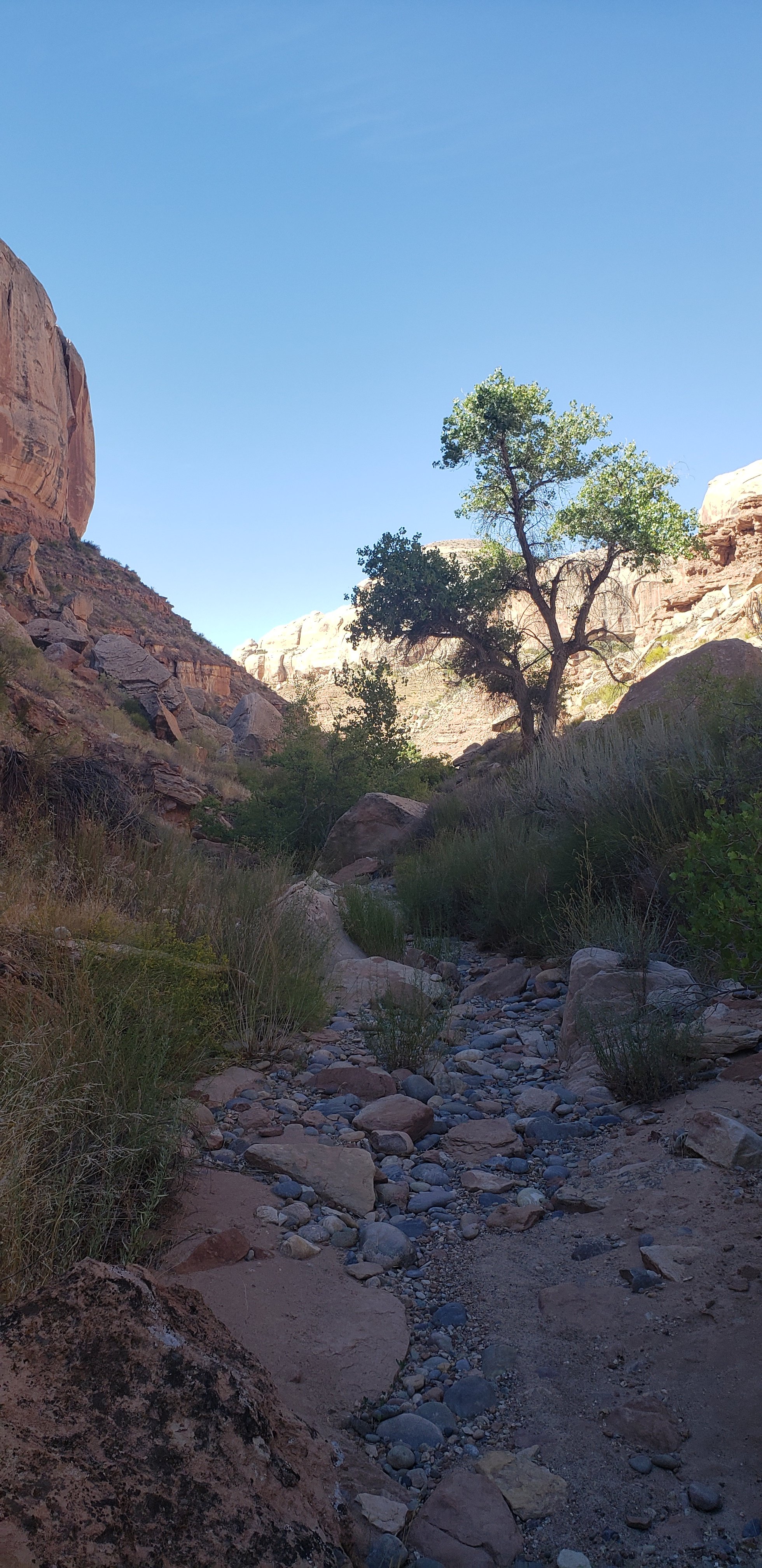
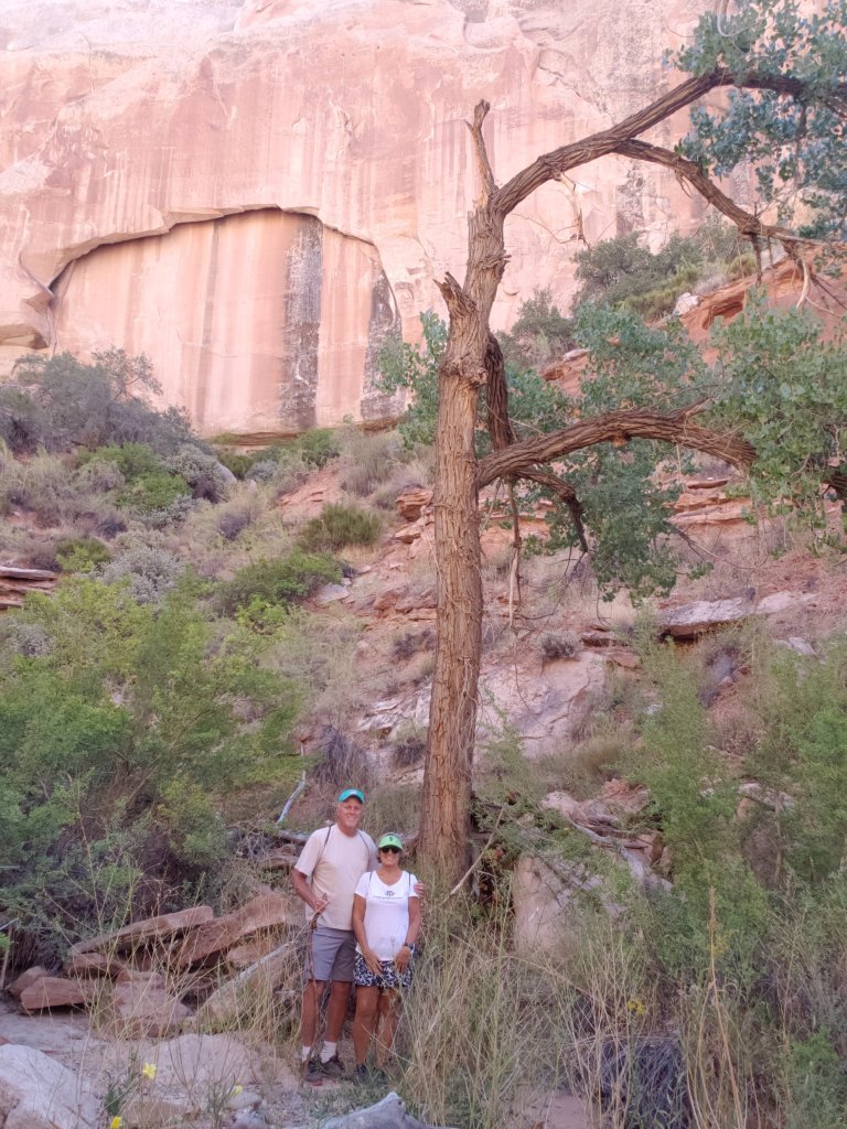
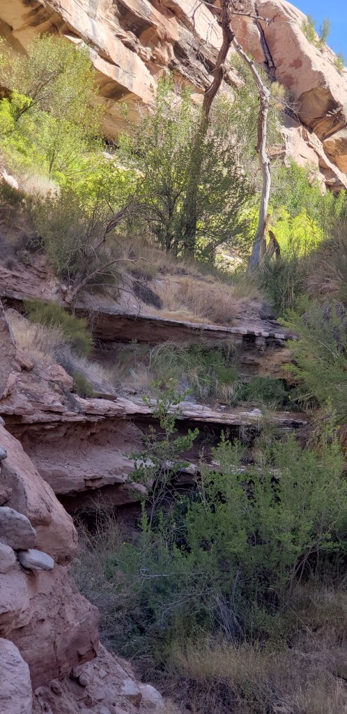
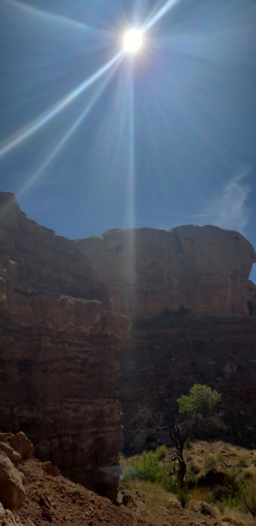
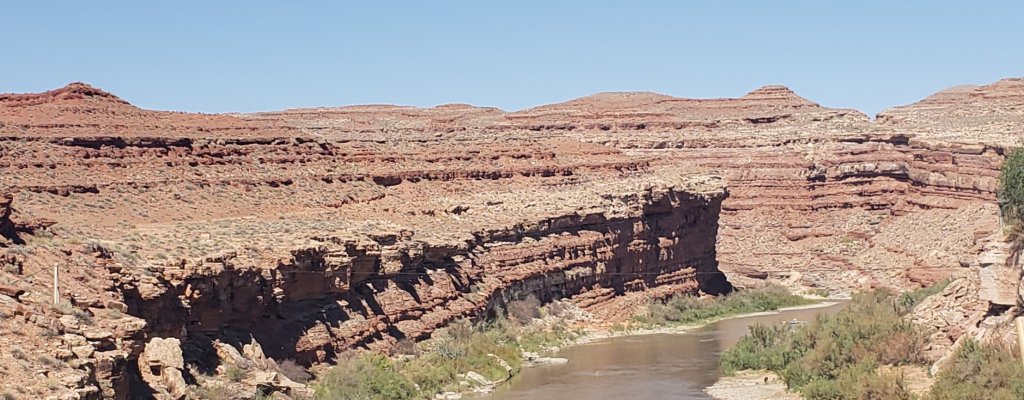
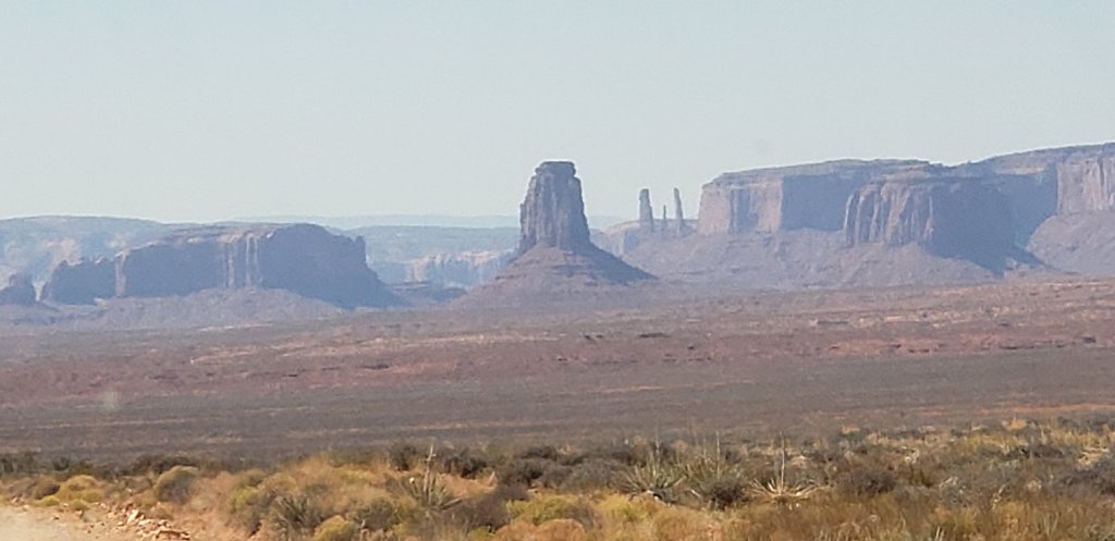
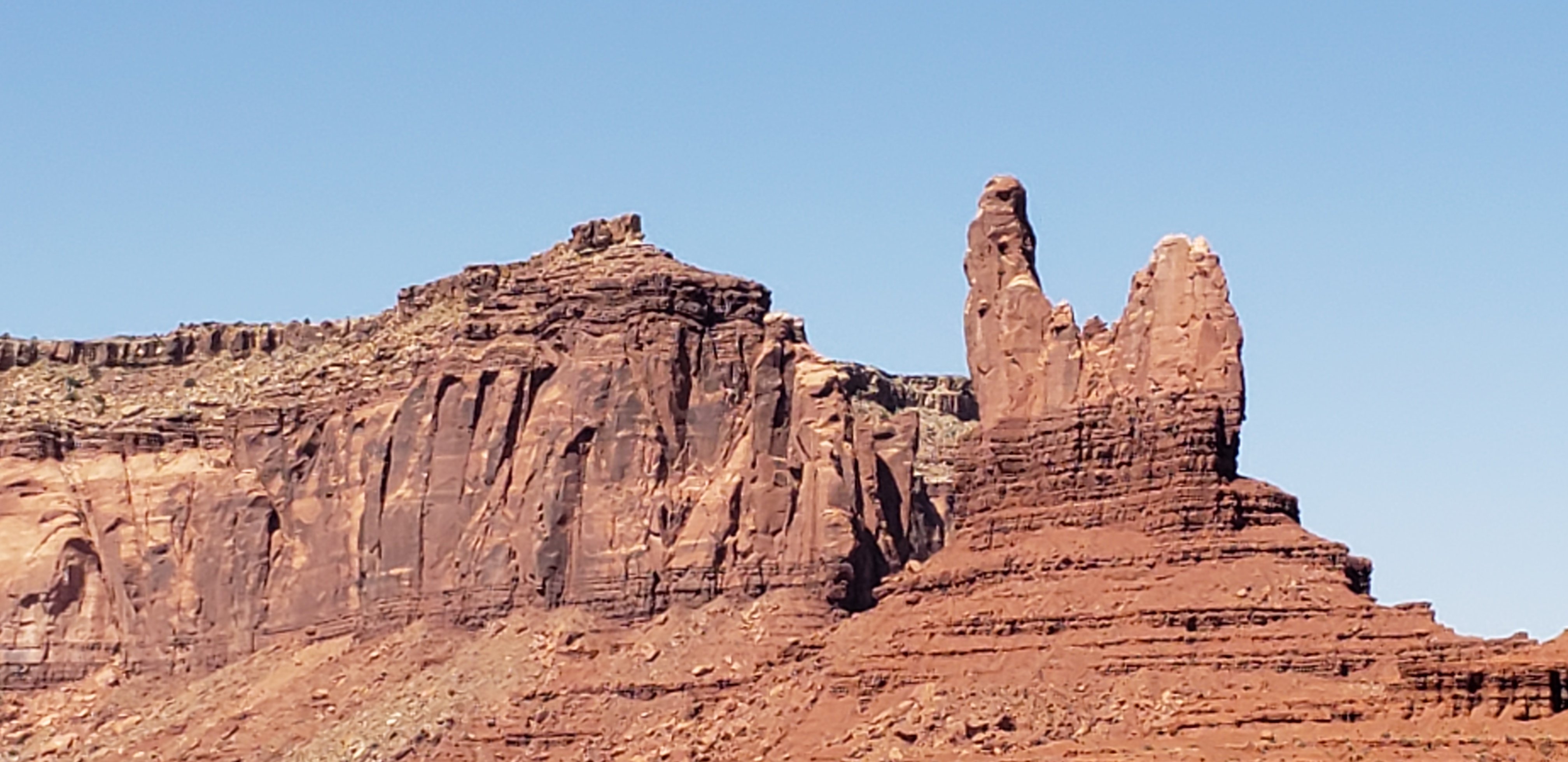
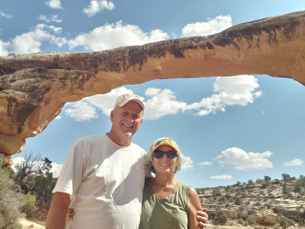
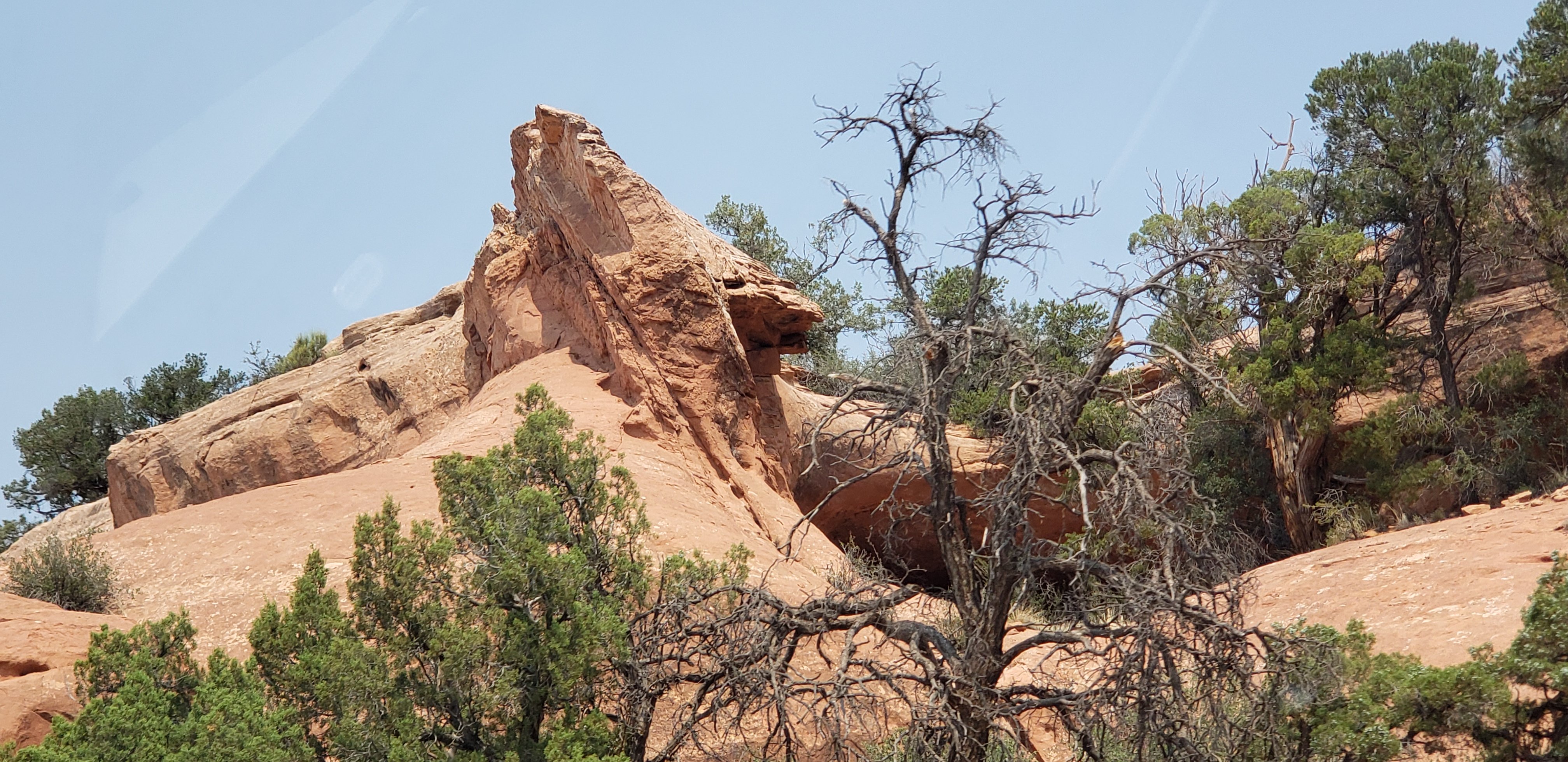
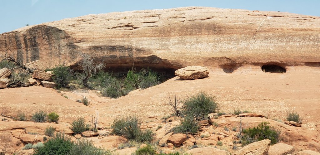
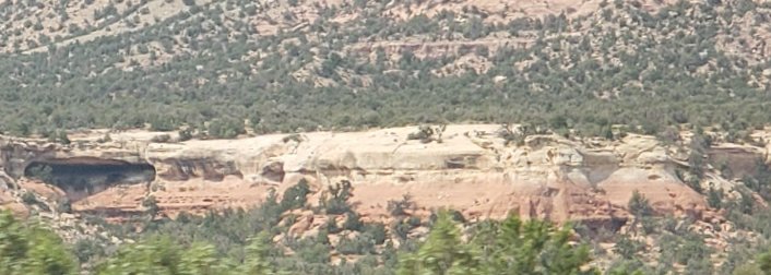
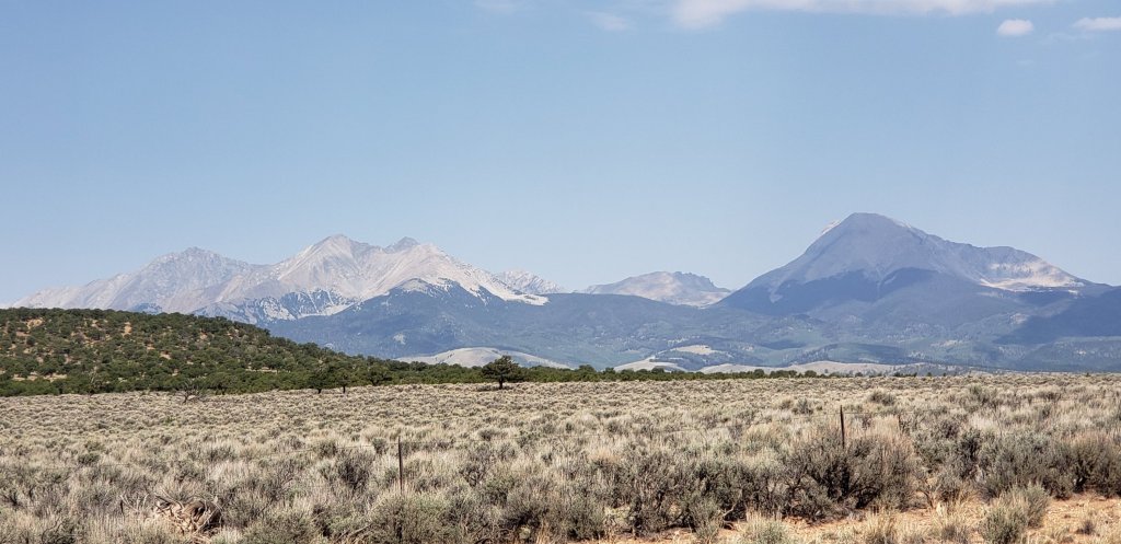
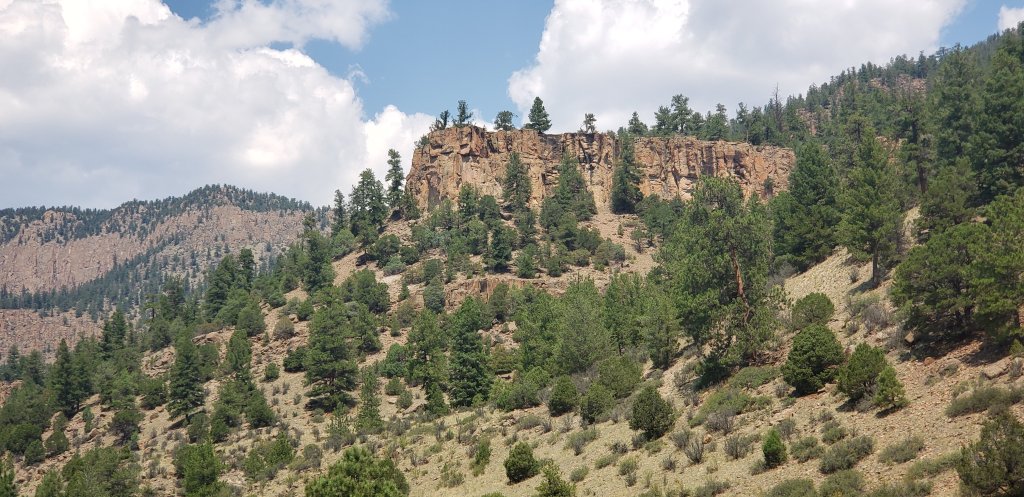
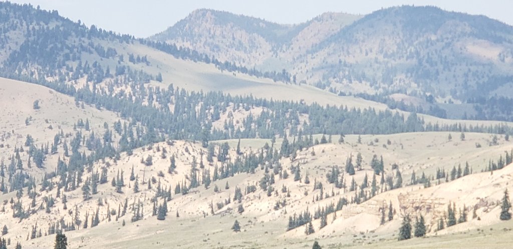
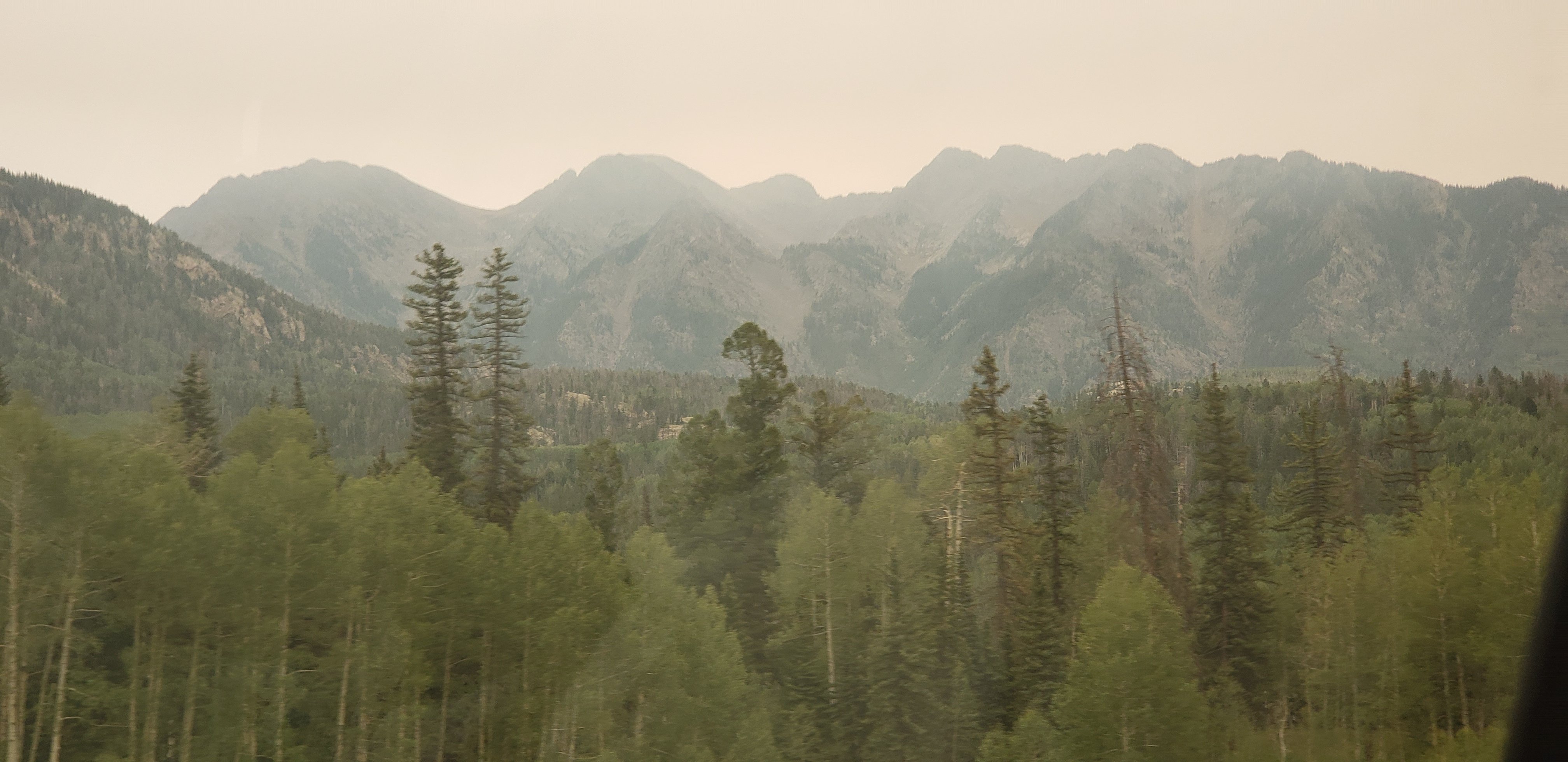
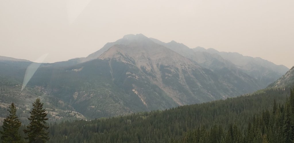
We had a great day, beautiful weather and scenery. 

Shafer Trail Road we drove down yesterday

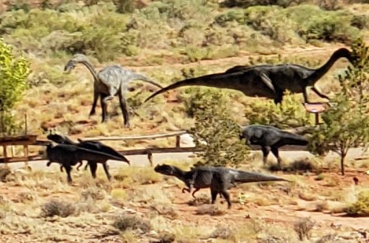
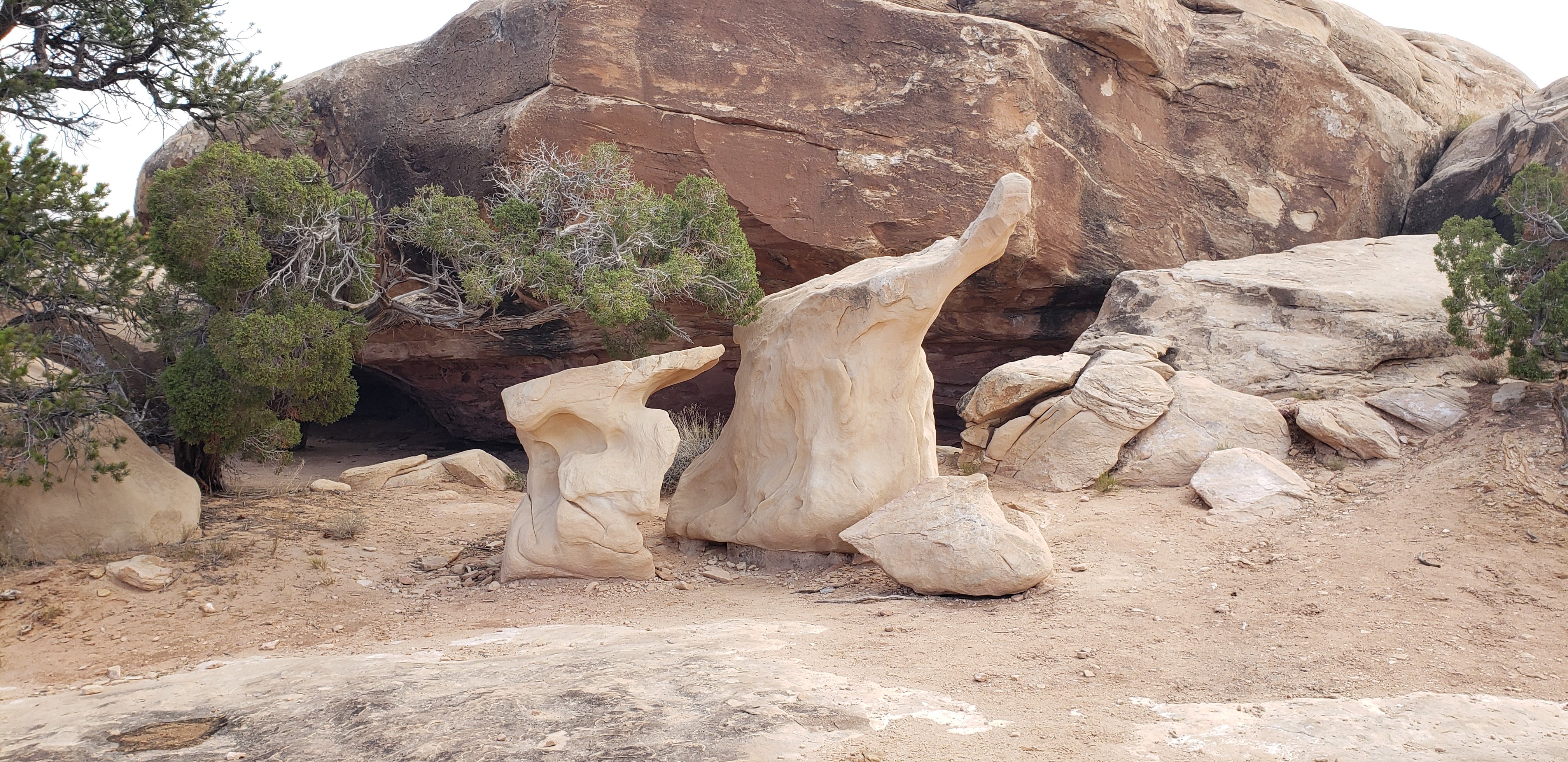
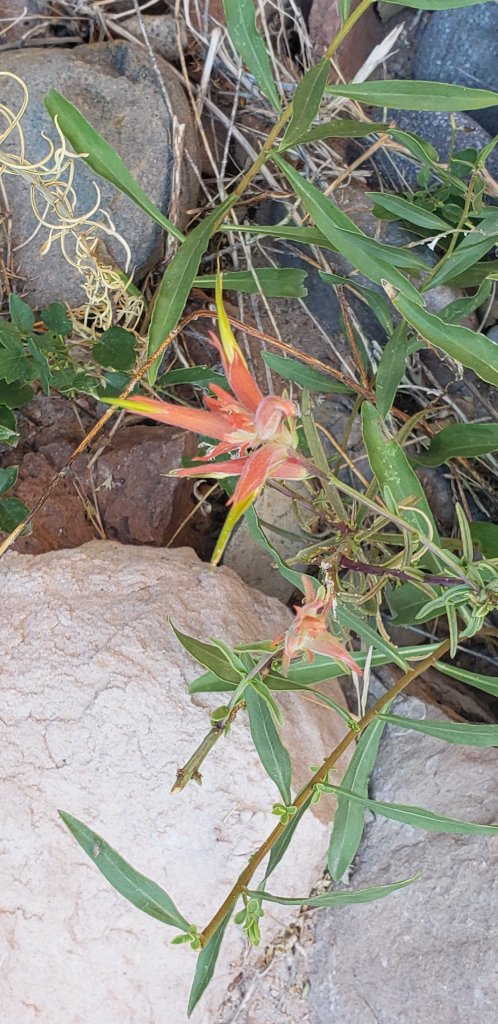
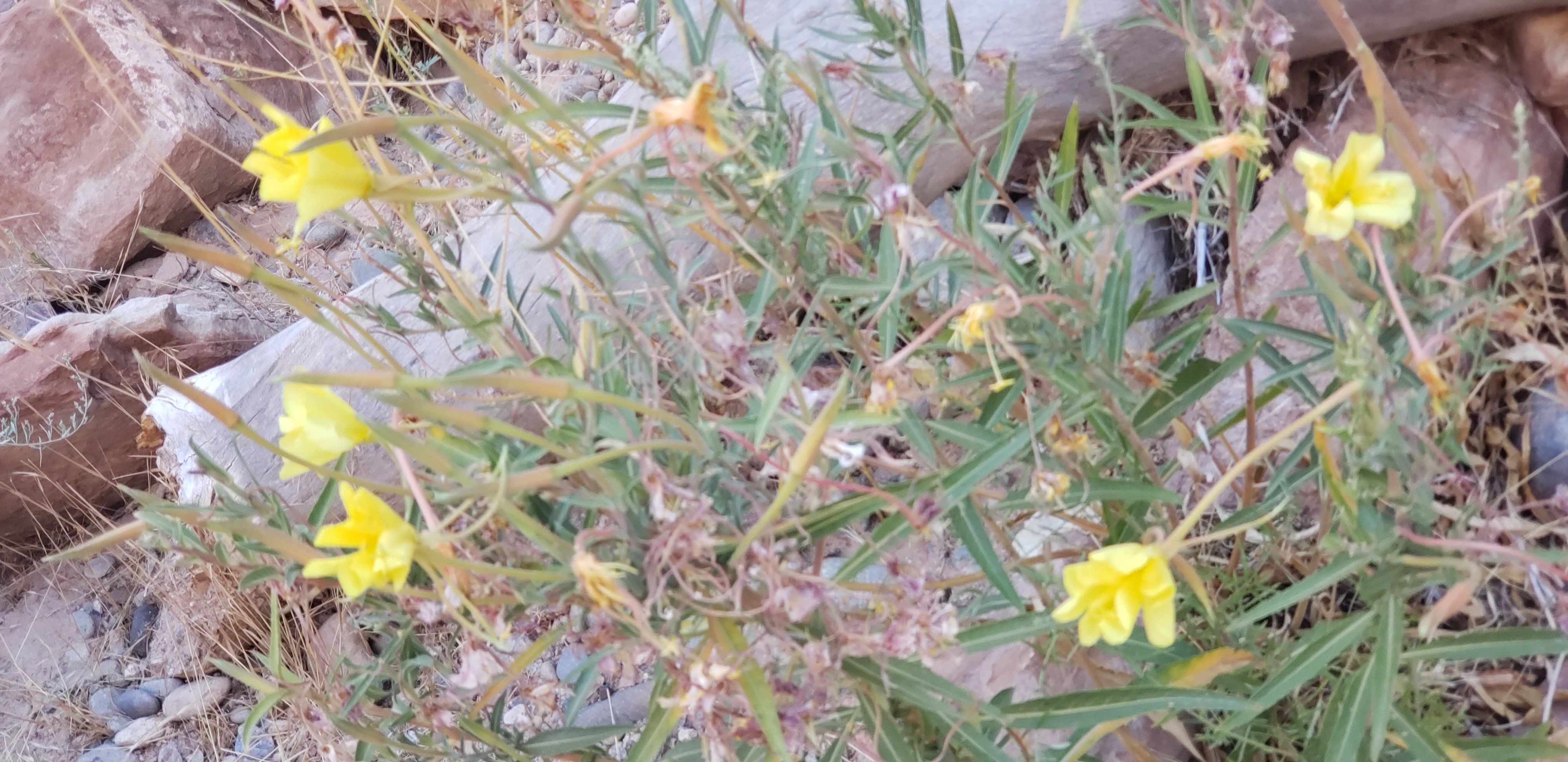
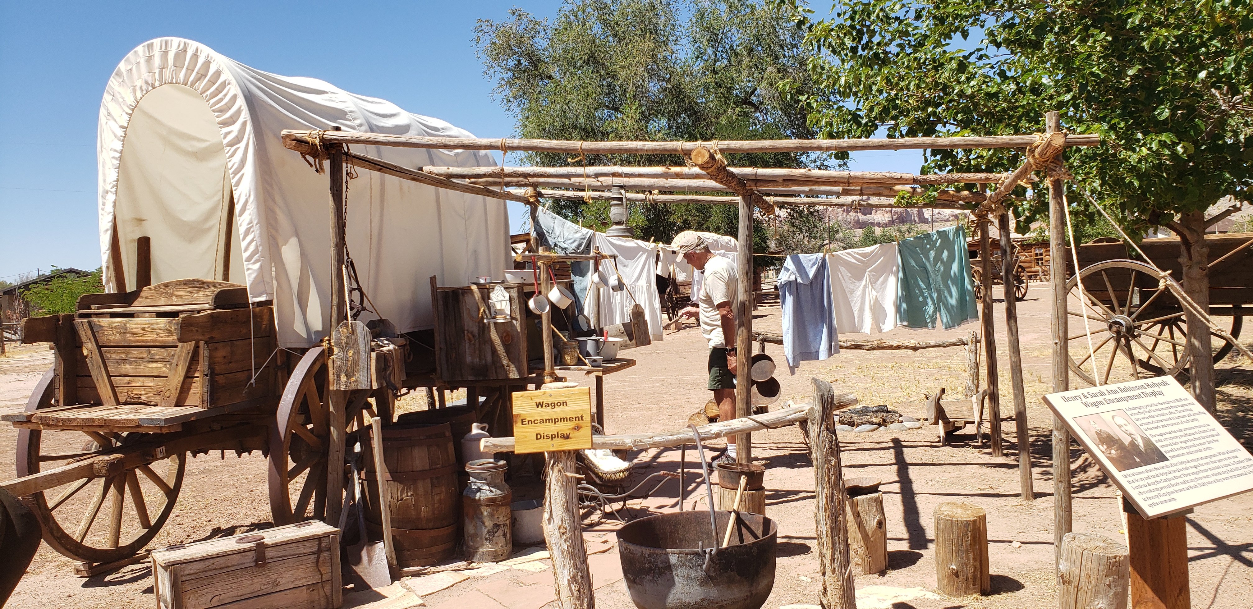
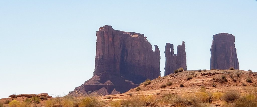
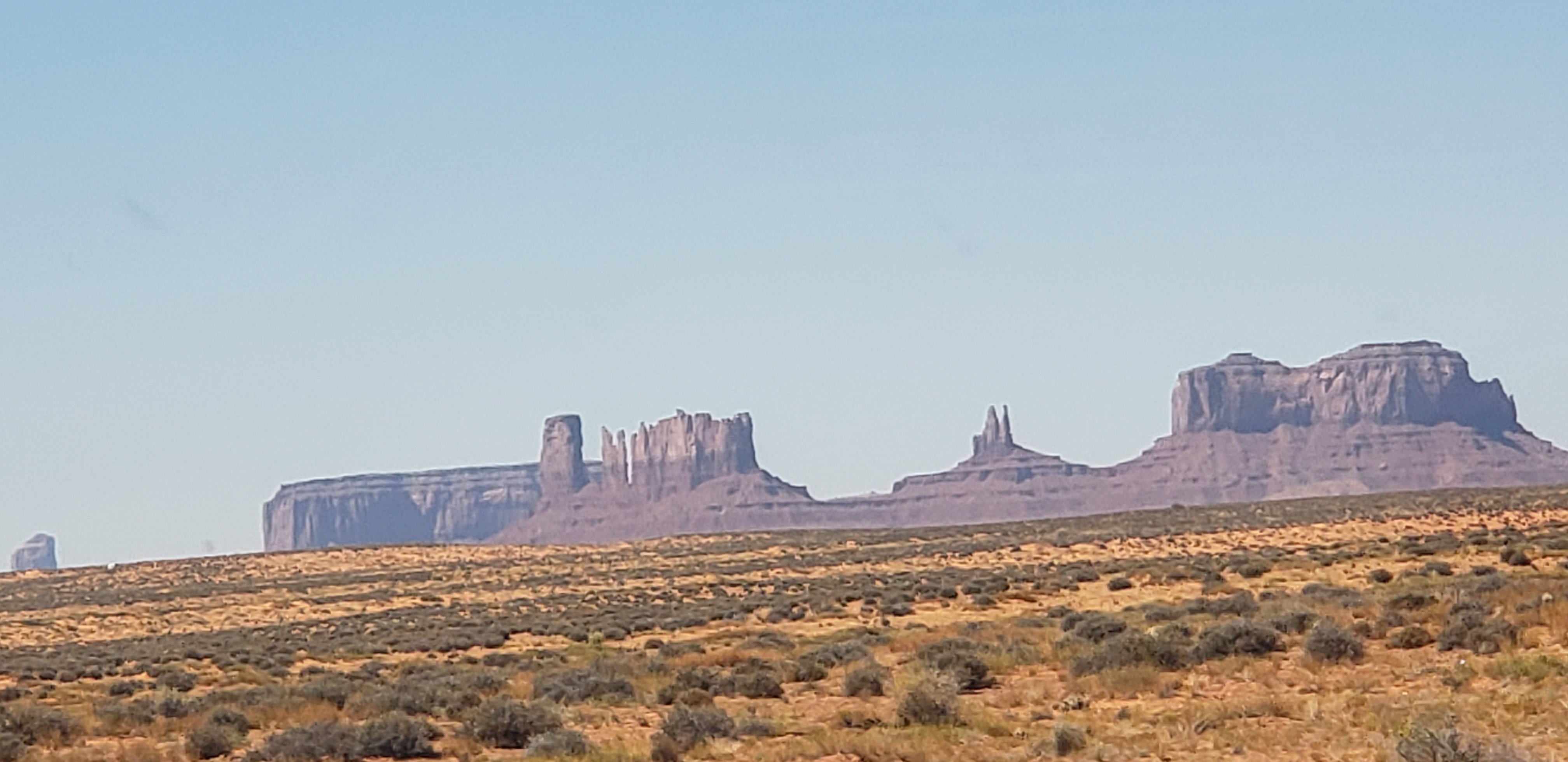
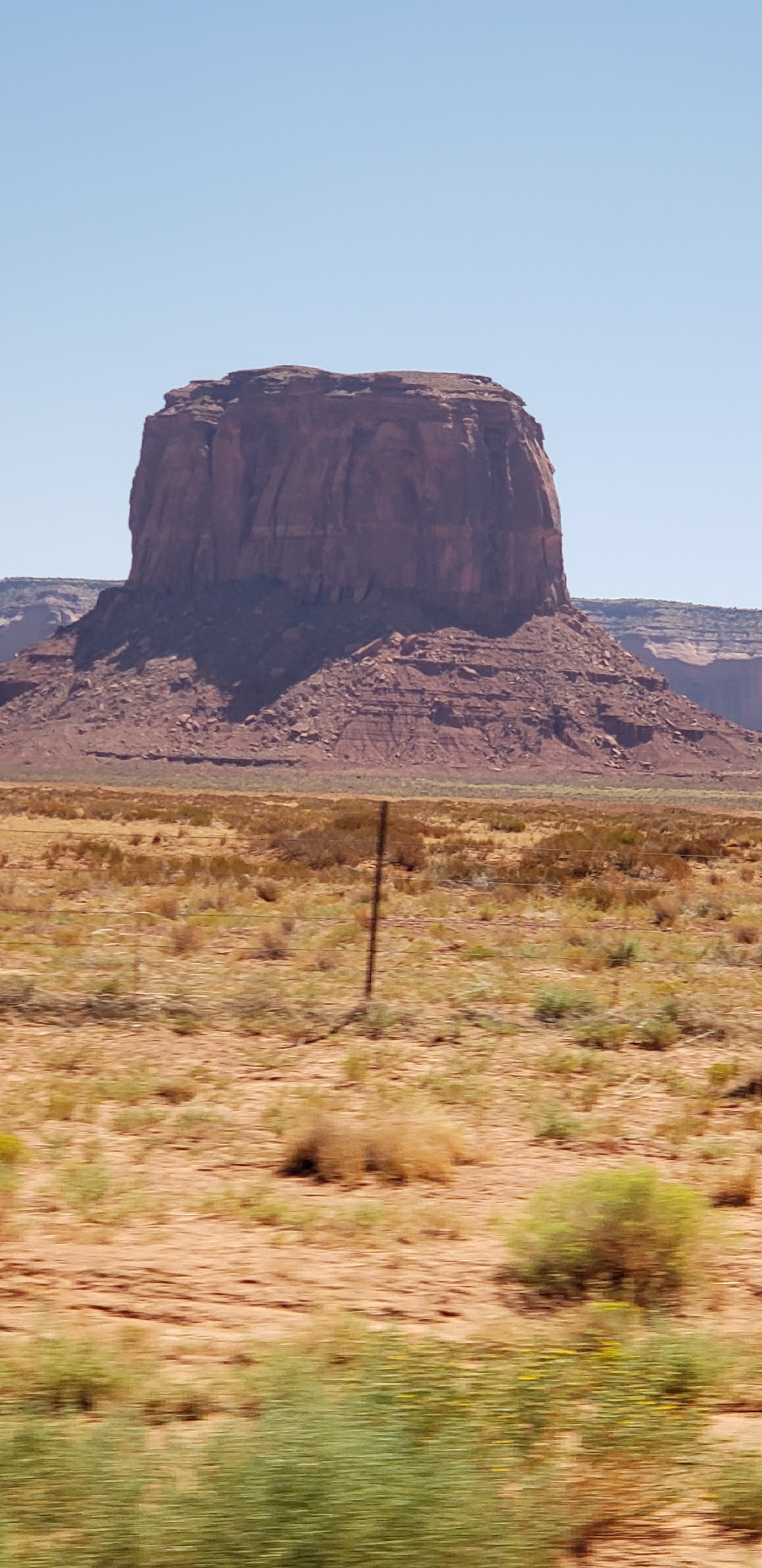
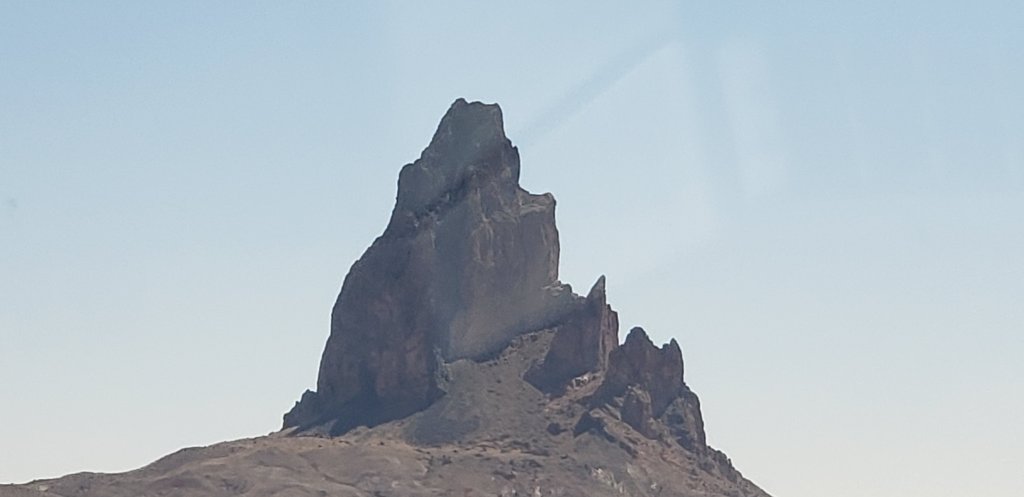
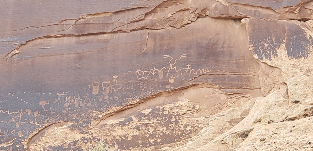
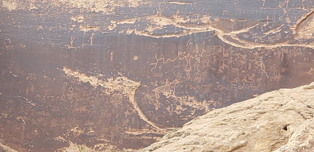
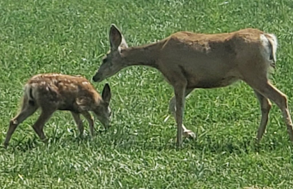
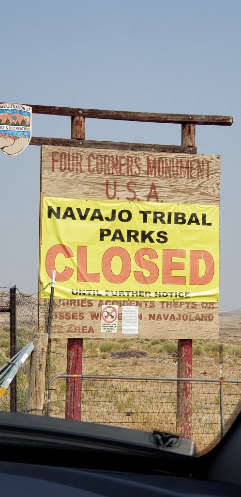
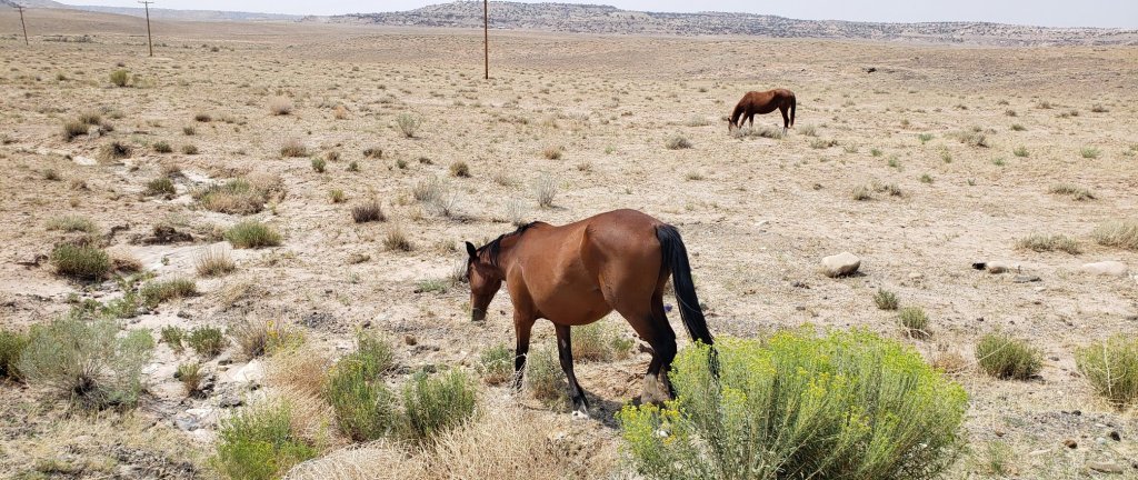
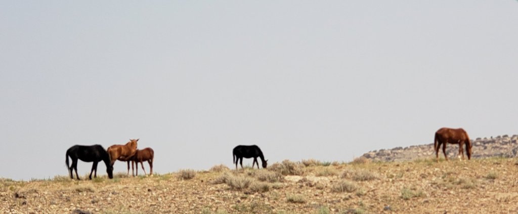
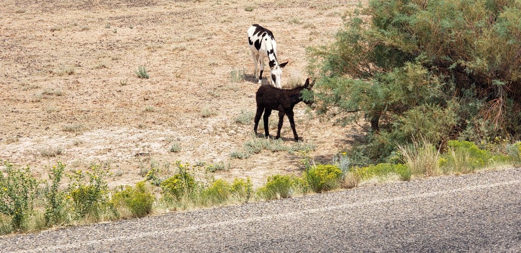
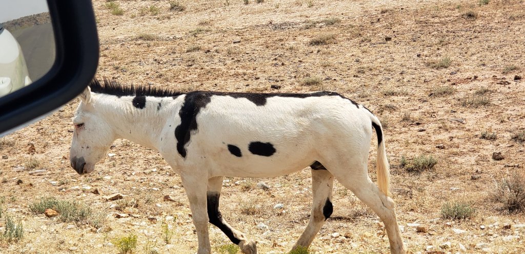
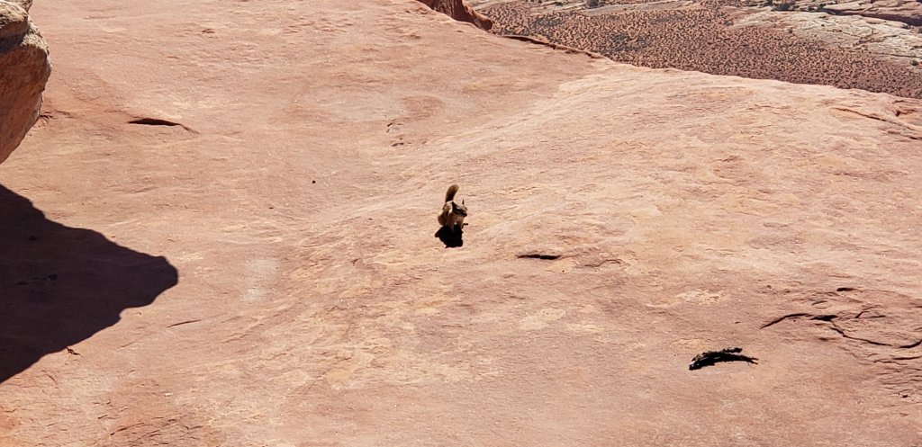
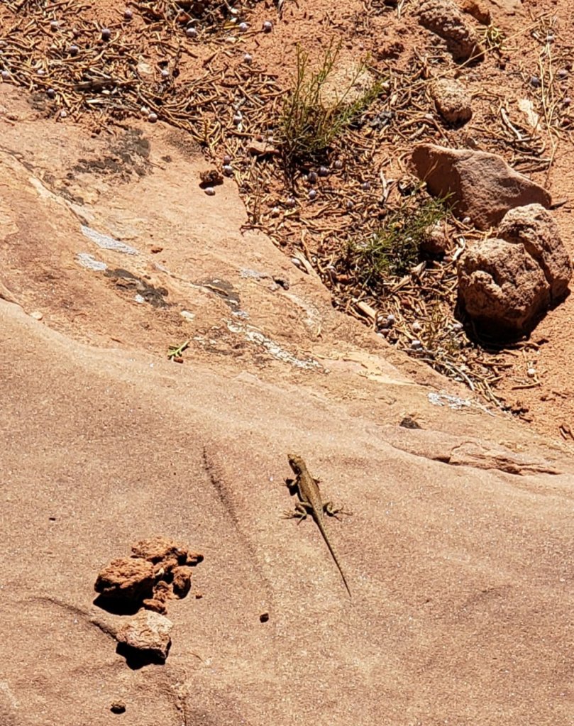
This is for the kids.

Dinosaurs!!!

Sept. 11th

Dead Horse State Park and Island in the Sky Canyonland was on our agenda today.

We stopped at the Visitor Center and this was the view.
Colorado River
Dead Horse Point Overlook

Barry noticed vehicles and bicycles on the road below us.  When we arrived at the Canyonlands, he wanted to drive the Shafer Trail Road. 

This is the map of our ride.
My pictures
We are down on the canyon floor, Colorado River
Snow capped mountains of the Manti-La Sal National Forest
Private company processes the salt

We made it to Potash, Utah and found a Corona and Peabody Arch to hiked .  Up the 400 ft. rock hill, crossing train tracks, crossing rocks using a rope and climbing up steps using a wire rope in the rocks, pretty much rock climbing. I enjoyed doing that.  Then, up a ladder which we did not do since we could see both of them from where we were. 

Peabody Arch
Corona Arch
Who sees Snuffleupagus from sesame street?
We see these flowers everywhere

Barry and I received a care package from the farm on Thursday. My brother, Hank, said he was coming out to visit. He tried to trick us; didn’t work, I really thought he was coming, got him a site. Jim and Mark also was part of this scheme.

Homegrown veggies

Thanks for thinking of us.

Sept. 8th- 10th

Barry and I have moved onto Moab, Utah.  Just beautiful and inspiring scenery everywhere you look.

Church Rock
Wilson Arch

We visited the Needles Overlook of Canyonland National Monument on Wednesday. It was very cloudy, but we were able to see through the clouds.

Today, we drove the scenic route 211 to the southern section of the Canyonland, The Needles.

The Needles
Abajo Mountains
Wooden shoe arch

Just beautiful canyons, buttes and needles. When the sun sets on these formations, the colors shine beautifully in its light.

Sept. 2nd

Every other day, Barry and I venture out to visit the area, today, we stayed in Bluff and went to Fort Bluff.  The town of Bluff have replicated the fort from the 1880s when the 86 Morman members left St. George to settle this area.  All survived the 6 month trek which was suppose to be 6 weeks during the winter months.

The Hole in the Rock Trail is what their travels are called.  They had to blast through many areas to continue their journey. They went to Escalante through Glen Canyon then to the San Juan River.

Glen Canyon was the place they had to lower the wagons and people down the hole in the wall. They blasted and drove rods into the rocks so they could accomplish this task.

Water wheel similar to what they used. They dug trenches from the river to the fort for water
Some of the people lived in their wagon fir over 4 years before building a home.
original homestead

Many items have been donated from the generations of the families. Very interesting to hear of their stories; many women died during childbirth and children from illness.

Sept. 1st

We went to see Gooseneck State Park, Mexican Hat and Monument Valley in Arizona.

San Juan flows at the bottom. The cliffs surrounding the river rose up through the earths crust to form this incredible site.

Then, onto Mexican Hat.

Population of 46 souls live in Mexican Hat.

upside down sombrero

Beautiful drive around the rock formations

San Juan River
Monument Valley

Monument Valley is in Arizona on the Navajo Reservation. They had Covid really bad and have closed all the reservation’s National Monuments.

So, we could drive around and see them from afar. This area has been used in western movies in the past.

We saw where Forrest Gump stopped running cause he was tired. Mile marker 13 on US Highway 163.

Aug. 30th

We are in Bluff, Utah. Close to the Valley of the Gods, Bears Ears National Monument, Natural Bridge National Monument and Monument Valley.

Utah has beautiful bluffs all around us!

Last night in Colorado
First night in Utah from our spot
Sand Island State Park Petroglyghs
Valley of the Gods
We rode the 17 mile dirt road
They say Valley of the Gods is a small Monument Valley
We drove Moki Dugway, gravel road on 261 through Cedar Mesa with switchbacks and a narrow road which went up to the top of the cliffs and took us to Bears Ears and Natural Bridges Monuments
Bears Ears National Monument
Sipacu Natural bridge
Kachina Natural Bridge
Owachomo Natural Bridge
We hiked down to the largest bridge.
Bluff, Utah

Aug. 24th – Aug. 29th

Barry and I spent the past week visiting Mesa Verde National Monument and Canyons of the Ancient National Monument before we left for Bluff, Utah.

Fair view Ruins
Kiva or pit house
Balcony house ruins

We drove to other areas in the Canyons of the Ancient, a very large area where the Pueblo people built their homes in the cliffs.

We hiked two different ruin sites, Lowry Pueblo was being cared for and the last one was hard to invision where the sites where other than piles of stones. The Sand Canyon was the largest ruin in the area.

couldn’t really see the ruins, the view was pretty
On the other side of the cliff, at one time, there were many stone homes and kivas.

Kivas were gathering places for the community

Mule deer and baby
fields of Sorghum

Aug 20th – Aug. 23rd

On Friday, we hiked the other path behind our camp. it wasn’t as far, we wanted to find the bear on the cliff.

the bear on the cliff

We left Saturday to travel to Cortez, Colorado.

San Juan Forest
Great big sunflower!!

Today, we travelled to the 4 corners of Colorado, Arizona, Utah and New Mexico. It was closed, due to the Covid. This property is owned by the Navajo tribe and they haven’t allowed it to open.

We will have to try another time. Beautiful area, wild horses and donkeys.

We crossed into Utah

So, we happen to be close to Hovenweep National Monumemt

Barry and I hiked the 2 mile trail into the canyon and back out.

Of course, my phone decided to overheat due to the 94 degree weather.

On our way back, we saw part of the Canyons of the Ancients National Monument.

Today was an interesting experience.

Anyway, while Barry and I are travelling, back in Ohio, our family is growing with 3 new babies in August and 1 in March.

MacKenzie Grace Engle, parents are our great niece, Kayla and Brandon.

Logan Henry Korb, parents are our nephew, Andy and Jessica.

Salem Roe Dawson, parents are our niece, Laura and Sefu.

Congratulations!!! Enjoy those babies and hope to see them before they can walk.

I do not remember if I told everyone about our Emma Marie Sacksteder, she was born in March to our niece, Allison and Andy. She is 5 months old and she is a cousin to Logan.

It is always exciting adding to our family. And, we thank the Lord for healthy and happy babies. We are so very blessed.

August 16th – 20th

I finally had my last week post, our wifi isn’t the greatest here. We arrived in South Fork, Colorado on the 15th. We are in the Rio Grande Forest and have been seeing the beauty of the mountains.

Barry and I drove into Creede; the Silver Thread scenic highway. This hwy is the small towns which were once silver and gold mining camps along the Rio Grand River.

mining camp

On Monday, we went to the Great Sands National Monument. The highest sand dune in the United States stands between the mountain ranges.

We walked to the bottom, took us an hour out and back. Beautiful to see!

Tuesday, we hike a trail behind our campsite. 2 1/2 mile hike and another 2 1/2 to get back to the campsite.

Barry’s friendly butterfly, It landed on him 3 or 4 times and followed us.
Rio Grande River

So, in our travels on Thursday, we were to go to the Rockwood Train Depot to get on the Durango & Silverton Scenic Train.

Well, the sign was very small and we missed it. We travelled to Silverton thinking that is were we we suppose to catch the train. Wrong!!

The wifi was no where to be found until we arrived in Silverton. I called them and found out we had 45 minutes to get there. We were 45 miles away. So, we were behind an rv and stopped for construction. Well, we made it there with 2 minutes to spare.

The Durango and Silverton Scenic Railroad to the Cascade Canyon in the San Juan National Forest.

If we didn’t make the mistake we would not have seen such beauty. The highway is called the million dollar hwy. That is how much it cost to build it. Very smoking from the northern Colorado fires near Grand Junction. We could actually smell the smoke.

On our way back home, We stopped at Chimney Rock National Monument in Pagosa Springs.

We were too late to drive to the top.